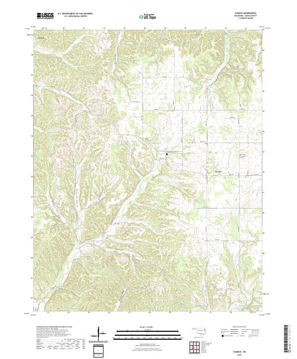
2022 Map of Chance
USGS Topo · Published 2022About this map
The settlement of Chance and the village of Chewey anchor this section of Adair County, defined by a complex network of drainages and named hollows. The landscape is deeply carved by water, with Tyner Cr flowing through the center of the quadrangle, joined by smaller tributaries like Luna Br and Tate Parris Br. These watercourses have created numerous distinct terrain features that bear local family or descriptive names, such as Scott Hollow, Cow Bay Hollow, and Gray Squirrel Hollow.
Find a feature on this map
48 named features on this map. Tap any name to fly to it.
Don’t see what you’re looking for? This feature index may not catch every label — zoom into the map to look around manually.
Map Details
Editions of this 2022 Chance Map
This is the sole edition of this map. No revisions or reprints were ever made.
Other maps of this area

1898 · Tahlequah
USGS Topo · 1:125,000

1899 · Siloam Springs
USGS Topo · 1:125,000

1901 · Tahlequah
USGS Topo · 1:125,000

1903 · Siloam Springs
USGS Topo · 1:125,000

1904 · Siloam Springs
USGS Topo · 1:125,000

1905 · Tahlequah
USGS Topo · 1:125,000

1946 · Fort Smith
USGS Topo · 1:250,000

1954 · Tulsa
USGS Topo · 1:250,000

1958 · Tulsa
USGS Topo · 1:250,000

1963 · Tulsa
USGS Topo · 1:250,000