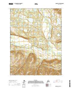
2017 Map of Chandalar A-3 NW
USGS Topo · Published 2017About this map
The Middle Fork Chandalar River and North Fork Chandalar River converge within this subarctic Alaskan landscape, illustrating the complex hydrology of the Yukon-Koyukuk region. In this 2017 study, the intricate braiding of these watercourses across wide valleys is meticulously documented, revealing a network of shifting channels and ephemeral wetlands. To the south, the terrain rises into steep ridges where drainage is defined by smaller tributaries such as Monarch Cr and Mickey Cr. These creeks descend from higher elevations toward the main river systems, including the Teedriinjik River, which marks the southeastern portion of the quadrangle. The lack of roads or established settlements emphasizes the wilderness character of the Brooks Range foothills, where the primary topographic interest lies in the natural movement of water across a remote and untouched interior.
Find a feature on this map
9 named features on this map. Tap any name to fly to it.
Don’t see what you’re looking for? This feature index may not catch every label — zoom into the map to look around manually.
Map Details
Editions of this 2017 Chandalar A-3 NW Map
This is the sole edition of this map. No revisions or reprints were ever made.
Other maps of this area

1951 · Chandalar
USGS Topo · 1:250,000

1956 · Chandalar
USGS Topo · 1:250,000

1964 · Chandalar
USGS Topo · 1:250,000
1970 · Chandalar A-4
USGS Topo · 1:63,360
1971 · Chandalar B-4
USGS Topo · 1:63,360
1990 · Chandalar B-3
USGS Topo · 1:63,360
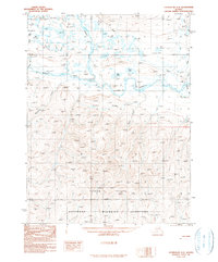
1990 · Chandalar A-3
USGS Topo · 1:63,360
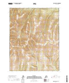
2017 · Chandalar A-3 SE
USGS Topo · 1:25,000
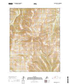
2017 · Chandalar A-4 SE
USGS Topo · 1:25,000
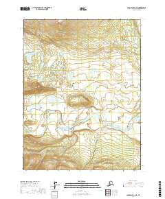
2017 · Chandalar A-3 NE
USGS Topo · 1:25,000