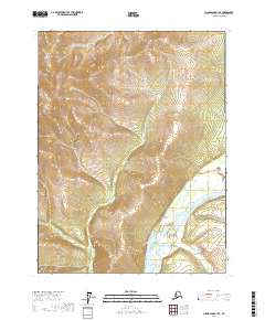
2017 Map of Chandalar B-1 SE
USGS Topo · Published 2017About this map
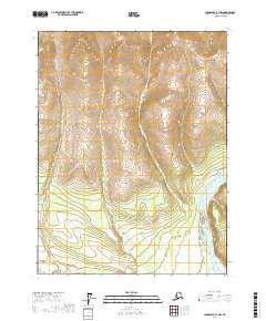
East Fork Chandalar River dominates the southern reaches of this interior Alaskan quadrangle, cutting through a landscape defined by significant elevation changes. This 2017 survey by the U.S. Geological Survey illustrates the drainage patterns of the Yukon-Koyukuk region, where Crater Creek flows from the high northern ridges to join the larger river system below. The map's contour lines reveal the deep valleys and steep gradients typical of the Brooks Range foothills, providing a clear picture of the hydrological relationship between Crater Cr and the glacial-fed waterways of the north. The absence of roads or man-made structures highlights the true wilderness character of this area in the early 21st century.
Find a feature on this map
7 named features on this map. Tap any name to fly to it.
Don’t see what you’re looking for? This feature index may not catch every label — zoom into the map to look around manually.
Map Details
Editions of this 2017 Chandalar B-1 SE Map
This is the sole edition of this map. No revisions or reprints were ever made.
Other maps of this area

1951 · Chandalar
USGS Topo · 1:250,000

1951 · Christian
USGS Topo · 1:250,000

1956 · Chandalar
USGS Topo · 1:250,000

1956 · Christian
USGS Topo · 1:250,000

1964 · Chandalar
USGS Topo · 1:250,000
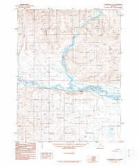
1990 · Chandalar A-1
USGS Topo · 1:63,360
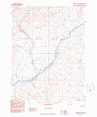
1990 · Christian B-6
USGS Topo · 1:63,360
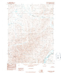
1990 · Chandalar B-1
USGS Topo · 1:63,360
1990 · Christian A-6
USGS Topo · 1:63,360
2017 · Chandalar A-1 NW
USGS Topo · 1:25,000