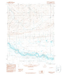
1990 Map of Christian A-6
USGS Topo · Published 1990About this map
The braided channels of the Chandalar River dominate this subarctic landscape within the Yukon Flats region. Situated in a transition between high relief and alluvial basins, the map shows the river system as it appeared in the late 1970s and early 1980s, characterized by numerous wetlands, sloughs, and Tinjikuun Lake. Evidence of permafrost activity is visible in the form of multiple Pingo formations located in the northern high ground, near the drainages of Cornucopia Creek and Crater Creek. Human presence is minimal, marked only by isolated Cabins and a short stretch of Unimproved Road entering from the east. This area, largely protected within a National Wildlife Refuge, reflects a wilderness environment where hydrologic changes and geological frost-heave features are the primary markers of the landscape's evolution.
Find a feature on this map
12 named features on this map. Tap any name to fly to it.
Don’t see what you’re looking for? This feature index may not catch every label — zoom into the map to look around manually.
Map Details
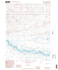
Editions of this 1990 Christian A-6 Map
2 editions found
Other maps of this area

1951 · Fort Yukon
USGS Topo · 1:250,000

1951 · Chandalar
USGS Topo · 1:250,000

1951 · Christian
USGS Topo · 1:250,000

1951 · Beaver
USGS Topo · 1:250,000

1955 · Fort Yukon D-5
USGS Topo · 1:63,360

1956 · Chandalar
USGS Topo · 1:250,000

1956 · Beaver
USGS Topo · 1:250,000

1956 · Christian
USGS Topo · 1:250,000

1956 · Fort Yukon
USGS Topo · 1:250,000
1956 · Fort Yukon D-6
USGS Topo · 1:63,360