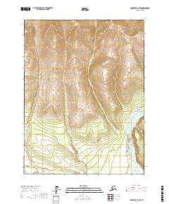
2017 Map of Chandalar A-1 NW
USGS Topo · Published 2017About this map
East Fork Chandalar River dominates the southeastern portion of this landscape, its braided channels and shifting bars illustrating the dynamic nature of northern Alaskan interior waterways. This high-latitude terrain is defined by its drainage patterns, where Mountain Cr and Zimmerman Cr carve distinct valleys through the ridgelines. The map records the precise Public Land Survey System divisions, including t28n r1e and t27n r2e, which organize this undeveloped territory in the Yukon-Koyukuk Census Area. The lack of man-made infrastructure or named settlements highlights the remoteness of this section of the Brooks Range foothills during the early twenty-first century.
Find a feature on this map
7 named features on this map. Tap any name to fly to it.
Don’t see what you’re looking for? This feature index may not catch every label — zoom into the map to look around manually.
Map Details
Editions of this 2017 Chandalar A-1 NW Map
This is the sole edition of this map. No revisions or reprints were ever made.
Other maps of this area

1951 · Chandalar
USGS Topo · 1:250,000

1956 · Chandalar
USGS Topo · 1:250,000

1964 · Chandalar
USGS Topo · 1:250,000
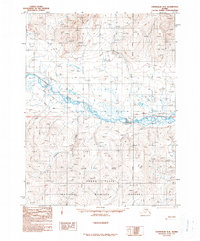
1990 · Chandalar A-2
USGS Topo · 1:63,360
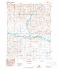
1990 · Chandalar A-1
USGS Topo · 1:63,360
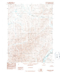
1990 · Chandalar B-1
USGS Topo · 1:63,360
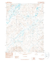
1990 · Chandalar B-2
USGS Topo · 1:63,360
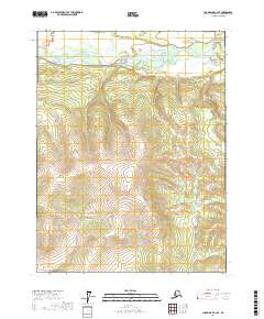
2017 · Chandalar A-2 SE
USGS Topo · 1:25,000
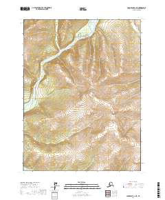
2017 · Chandalar A-1 NE
USGS Topo · 1:25,000
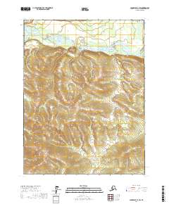
2017 · Chandalar A-1 SW
USGS Topo · 1:25,000