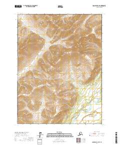
2017 Map of Chandalar B-3 NE
USGS Topo · Published 2017About this map
The Middle Fork Chandalar River flows through the southeastern portion of this landscape, serving as a primary drainage for the surrounding high-elevation terrain. This 2017 survey reveals a remote wilderness defined by intricate contour lines and a network of tributary streams that carve through the upland interior. Named waterways such as Big Cr and Day Cr dominate the northern sections, while Trilby Cr and Dictator Cr drain the central and southern slopes. Historically significant for its connection to northern prospecting and remote exploration, the area includes landmarks like Pedro Gulch in the north. The map provides a precise look at the township and range boundaries, including t31n r3w and t31n r2w, which segment this roadless part of the Yukon-Koyukuk region.
Find a feature on this map
11 named features on this map. Tap any name to fly to it.
Don’t see what you’re looking for? This feature index may not catch every label — zoom into the map to look around manually.
Map Details
Editions of this 2017 Chandalar B-3 NE Map
This is the sole edition of this map. No revisions or reprints were ever made.
Other maps of this area

1951 · Chandalar
USGS Topo · 1:250,000

1956 · Chandalar
USGS Topo · 1:250,000

1964 · Chandalar
USGS Topo · 1:250,000
1990 · Chandalar B-3
USGS Topo · 1:63,360

1990 · Chandalar C-2
USGS Topo · 1:63,360
1990 · Chandalar B-2
USGS Topo · 1:63,360
1990 · Chandalar C-3
USGS Topo · 1:63,360
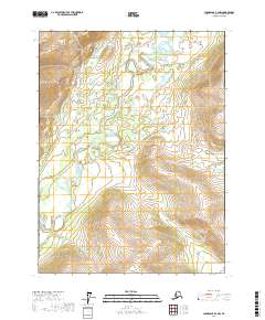
2017 · Chandalar B-2 NW
USGS Topo · 1:25,000
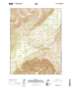
2017 · Chandalar B-2 SW
USGS Topo · 1:25,000
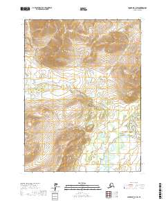
2017 · Chandalar C-2 SW
USGS Topo · 1:25,000