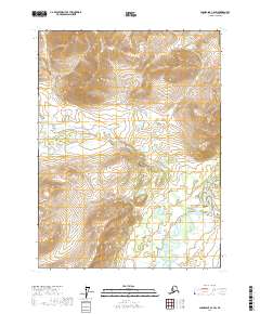
2017 Map of Chandalar C-2 SW
USGS Topo · Published 2017About this map
The Middle Fork Chandalar River dominates the southeastern portion of this remote Alaskan landscape, where it meanders through a wide valley floor marked by intricate braided channels and small pools. The terrain is defined by a dense network of high ridges and narrow drainage basins, with Grave Cr and Rock Cr carving deep paths through the central and southern sections of the quadrangle. In the north, smaller tributaries such as Slate Cr and Brown Cr descend from steep elevations, illustrating the complex hydrology typical of the Yukon-Koyukuk region. This 2017 survey shows no human settlements or road infrastructure, instead highlighting the natural flow of the interior river system and the wilderness as it appeared in the early 21st century. The map provides a detailed view of topographic relief, where unnamed peaks rise sharply above the Broom Cr and McLellan Cr drainages.
Find a feature on this map
11 named features on this map. Tap any name to fly to it.
Don’t see what you’re looking for? This feature index may not catch every label — zoom into the map to look around manually.
Map Details
Editions of this 2017 Chandalar C-2 SW Map
This is the sole edition of this map. No revisions or reprints were ever made.
Other maps of this area

1951 · Chandalar
USGS Topo · 1:250,000

1956 · Chandalar
USGS Topo · 1:250,000

1964 · Chandalar
USGS Topo · 1:250,000
1990 · Chandalar B-3
USGS Topo · 1:63,360

1990 · Chandalar C-2
USGS Topo · 1:63,360
1990 · Chandalar B-2
USGS Topo · 1:63,360
1990 · Chandalar C-3
USGS Topo · 1:63,360
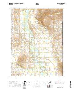
2017 · Chandalar C-2 NE
USGS Topo · 1:25,000
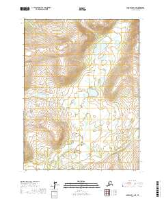
2017 · Chandalar B-2 NE
USGS Topo · 1:25,000
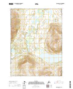
2017 · Chandalar C-2 SE
USGS Topo · 1:25,000