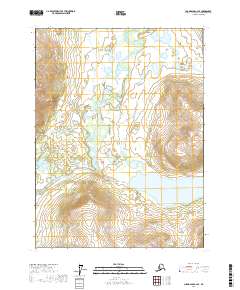
2017 Map of Chandalar C-2 SE
USGS Topo · Published 2017About this map
Middle Fork Chandalar River winds through the interior landscape of the Yukon-Koyukuk region, defining the drainage patterns and geography of this subarctic terrain. This 2017 survey by the U.S. Geological Survey illustrates a wild and unpopulated section of the Alaskan north, where glacial activity and hydraulic systems are the primary architects of the land. Ackerman Lake sits as a prominent feature in the southern reaches of the quadrangle, serving as a significant water body in an area dominated by intricate wetlands and shifting river channels. The presence of Glacier Cr in the northeast corner further highlights the influence of water and ice on the regional topography. For researchers, the map provides a precise view of the Public Land Survey System grid, including the convergence of t32n r1w, t32n r1e, t31n r1w, and t31n r1e, which offers a foundational reference for land management in this undeveloped territory.
Find a feature on this map
7 named features on this map. Tap any name to fly to it.
Don’t see what you’re looking for? This feature index may not catch every label — zoom into the map to look around manually.
Map Details
Editions of this 2017 Chandalar C-2 SE Map
This is the sole edition of this map. No revisions or reprints were ever made.
Other maps of this area

1951 · Chandalar
USGS Topo · 1:250,000

1956 · Chandalar
USGS Topo · 1:250,000

1964 · Chandalar
USGS Topo · 1:250,000

1990 · Chandalar C-2
USGS Topo · 1:63,360
1990 · Chandalar B-1
USGS Topo · 1:63,360
1990 · Chandalar B-2
USGS Topo · 1:63,360
1990 · Chandalar C-1
USGS Topo · 1:63,360
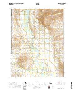
2017 · Chandalar C-2 NE
USGS Topo · 1:25,000
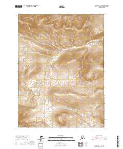
2017 · Chandalar C-1 NW
USGS Topo · 1:25,000
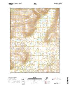
2017 · Chandalar B-2 NE
USGS Topo · 1:25,000