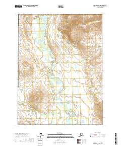
2017 Map of Chandalar C-2 NE
USGS Topo · Published 2017About this map
Middle Fork Chandalar River dominates the central valley of this remote Alaskan interior landscape, its winding course creating a complex network of braids and bars. Flanked by significant elevation shifts reaching up to 4800 feet in the northeastern peaks, the river serves as the primary geographical anchor for the surrounding wilderness. To the west, the Stringo Lakes dot the higher ground, while Kern Cr drains the southern slopes. This area, managed under the Public Land Survey System as parts of townships including t33n r1e and t34n r1w, represents a largely untouched corridor of the Yukon-Koyukuk region where water and topography dictate the only routes through the terrain.
Find a feature on this map
9 named features on this map. Tap any name to fly to it.
Don’t see what you’re looking for? This feature index may not catch every label — zoom into the map to look around manually.
Map Details
Editions of this 2017 Chandalar C-2 NE Map
This is the sole edition of this map. No revisions or reprints were ever made.
Other maps of this area

1951 · Chandalar
USGS Topo · 1:250,000

1956 · Chandalar
USGS Topo · 1:250,000

1964 · Chandalar
USGS Topo · 1:250,000

1990 · Chandalar C-2
USGS Topo · 1:63,360
1990 · Chandalar D-2
USGS Topo · 1:63,360
1990 · Chandalar D-1
USGS Topo · 1:63,360
1990 · Chandalar C-1
USGS Topo · 1:63,360
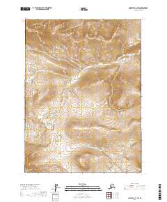
2017 · Chandalar C-1 NW
USGS Topo · 1:25,000
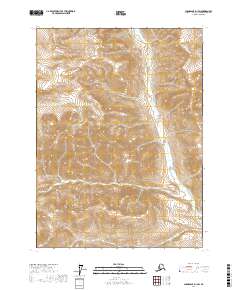
2017 · Chandalar D-1 SW
USGS Topo · 1:25,000
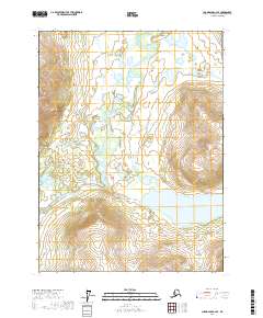
2017 · Chandalar C-2 SE
USGS Topo · 1:25,000