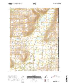
2017 Map of Chandalar B-2 NE
USGS Topo · Published 2017About this map
Flat Creek winds through this interior Alaskan wilderness, following a path through the southeastern portion of the quadrangle. The landscape is defined by its extreme relief, with contour lines indicating a high-elevation environment marked by steep ridges and glacial valleys. This 2017 survey by the U.S. Geological Survey reflects the enduring wildness of the Yukon-Koyukuk Census Area, where human development is virtually absent, and the land is primarily characterized by its natural drainage patterns and topographical complexity. The map provides a clear look at the township and range boundaries, including the intersection of Township 31 North Range 1 West and Township 31 North Range 1 East, which aid in locating specific plots within this vast public land survey system.
Find a feature on this map
5 named features on this map. Tap any name to fly to it.
Don’t see what you’re looking for? This feature index may not catch every label — zoom into the map to look around manually.
Map Details
Editions of this 2017 Chandalar B-2 NE Map
This is the sole edition of this map. No revisions or reprints were ever made.
Other maps of this area

1951 · Chandalar
USGS Topo · 1:250,000

1956 · Chandalar
USGS Topo · 1:250,000

1964 · Chandalar
USGS Topo · 1:250,000

1990 · Chandalar C-2
USGS Topo · 1:63,360
1990 · Chandalar B-1
USGS Topo · 1:63,360
1990 · Chandalar B-2
USGS Topo · 1:63,360
1990 · Chandalar C-1
USGS Topo · 1:63,360
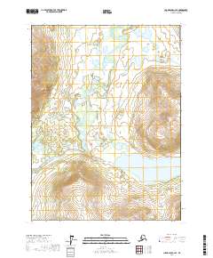
2017 · Chandalar C-2 SE
USGS Topo · 1:25,000
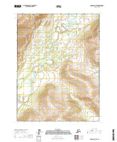
2017 · Chandalar B-2 NW
USGS Topo · 1:25,000
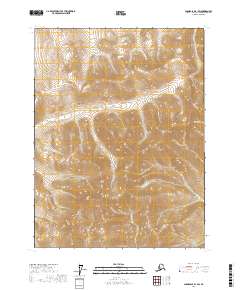
2017 · Chandalar B-1 SW
USGS Topo · 1:25,000