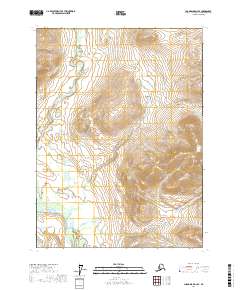
2017 Map of Chandalar D-2 SE
USGS Topo · Published 2017About this map
The Middle Fork Chandalar River winds through this high-latitude terrain, forming a central drainage corridor within the Yukon-Koyukuk region. In this 2017 study, the river’s braided path is traced across the northwestern and southwestern sections, showing the intricate hydrology of the Alaskan interior. To the south, Your Creek flows toward the larger river system, while the presence of Glacier Spring indicates the sub-surface water activity common in these remote mountain valleys. The map is primarily defined by its extreme elevation changes and natural water features, lacking the human infrastructure or settlements found in more developed regions. It provides a technical record of the land’s natural state, focusing on the relationship between these specific water bodies and the steep, surrounding topography.
Find a feature on this map
7 named features on this map. Tap any name to fly to it.
Don’t see what you’re looking for? This feature index may not catch every label — zoom into the map to look around manually.
Map Details
Editions of this 2017 Chandalar D-2 SE Map
This is the sole edition of this map. No revisions or reprints were ever made.
Other maps of this area

1951 · Chandalar
USGS Topo · 1:250,000

1956 · Chandalar
USGS Topo · 1:250,000

1964 · Chandalar
USGS Topo · 1:250,000

1990 · Chandalar C-2
USGS Topo · 1:63,360
1990 · Chandalar D-2
USGS Topo · 1:63,360
1990 · Chandalar D-1
USGS Topo · 1:63,360
1990 · Chandalar C-1
USGS Topo · 1:63,360
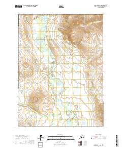
2017 · Chandalar C-2 NE
USGS Topo · 1:25,000
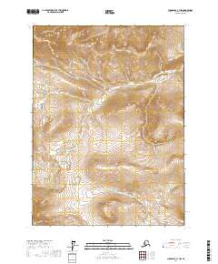
2017 · Chandalar C-1 NW
USGS Topo · 1:25,000
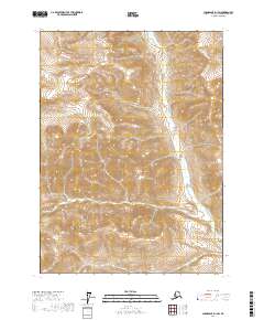
2017 · Chandalar D-1 SW
USGS Topo · 1:25,000