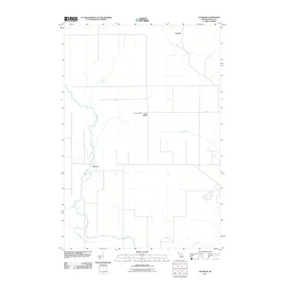
2011 Map of Chandler
USGS Topo · Published 2011About this map
The Ford River snakes through this portion of Delta County, defining the local geography as it winds toward the Green Bay coastline. Near the river's bend, the small community of Riverland sits along the primary north-south corridor, while the settlement of Flat Rock lies further inland to the east. This area of the Upper Peninsula is characterized by a network of drainage systems including Bichler Creek, Portage Creek, and Reno Creek, which suggest a landscape historically shaped by timber and water-dependent industries.
Find a feature on this map
9 named features on this map. Tap any name to fly to it.
Don’t see what you’re looking for? This feature index may not catch every label — zoom into the map to look around manually.
Map Details
Editions of this 2011 Chandler Map
This is the sole edition of this map. No revisions or reprints were ever made.
Other maps of this area

1932 · Gladstone NE
USGS Topo · 1:31,680

1932 · Gladstone SE
USGS Topo · 1:31,680

1932 · Bark River NE
USGS Topo · 1:31,680

1932 · Whitney NE
USGS Topo · 1:31,680

1932 · Whitney SE
USGS Topo · 1:31,680

1932 · Gladstone SW
USGS Topo · 1:31,680

1932 · Gladstone NW
USGS Topo · 1:31,680

1950 · Gladstone NW
USGS Topo · 1:31,680

1954 · Escanaba
USGS Topo · 1:250,000

1957 · Escanaba
USGS Topo · 1:250,000