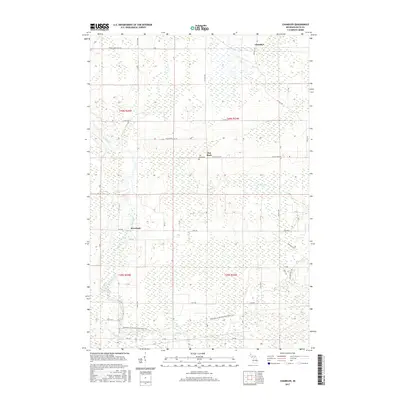
2017 Map of Chandler
USGS Topo · Published 2017About this map
The Ford River winds through this Delta County landscape, carving a path through the townships of t40n r24w and t39n r24w. This 2017 survey shows a region defined by its watercourses and rural settlements, including Riverland and the community of Flat Rock. Local history is anchored at the Flat Rock Cem, while the northern portion of the map is marked by the small settlement of Chandler near Reno Cr. The terrain is characterized by numerous small drainage systems such as Bichler Cr, Tenmile Cr, and Portage Cr. A significant cultural feature is the Escanaba to Hermansville State Trail, which cuts across the southern sections of the map, following a legacy transportation corridor. The map provides a clear look at the network of county roads, including CO 416 20th Rd and Danforth Rd, that link these isolated Upper Peninsula communities.
Find a feature on this map
55 named features on this map. Tap any name to fly to it.
Don’t see what you’re looking for? This feature index may not catch every label — zoom into the map to look around manually.
Map Details
Editions of this 2017 Chandler Map
This is the sole edition of this map. No revisions or reprints were ever made.
Other maps of this area

1932 · Gladstone NE
USGS Topo · 1:31,680

1932 · Gladstone SE
USGS Topo · 1:31,680

1932 · Bark River NE
USGS Topo · 1:31,680

1932 · Whitney NE
USGS Topo · 1:31,680

1932 · Whitney SE
USGS Topo · 1:31,680

1932 · Gladstone SW
USGS Topo · 1:31,680

1932 · Gladstone NW
USGS Topo · 1:31,680

1950 · Gladstone NW
USGS Topo · 1:31,680

1954 · Escanaba
USGS Topo · 1:250,000

1957 · Escanaba
USGS Topo · 1:250,000