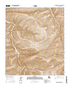
2016 Map of Chandler Lake D-5 NW
USGS Topo · Published 2016About this map
S Fork Ninuluk Cr and E Fork Ninuluk Cr define the drainage patterns of this high Arctic landscape in the northern foothills of the Brooks Range. This 2016 survey emphasizes the complex topography of the North Slope, where the drainage basins are partitioned by the Public Land Survey System boundaries of t5s r5w, t5s r4w, and t6s r4w. The elevation contours reveal a series of ridgelines and upland plateaus that separate these major forks, illustrating the remote hydrological network that feeds the larger rivers of the Alaskan interior. The map focuses entirely on the natural terrain, with no human settlements or infrastructure indicated, preserving a record of the wilderness as it was documented by the U.S. Geological Survey in the early 21st century.
Find a feature on this map
8 named features on this map. Tap any name to fly to it.
Don’t see what you’re looking for? This feature index may not catch every label — zoom into the map to look around manually.
Map Details
Editions of this 2016 Chandler Lake D-5 NW Map
This is the sole edition of this map. No revisions or reprints were ever made.
Other maps of this area

1951 · Ikpikpuk River
USGS Topo · 1:250,000

1951 · Chandler Lake
USGS Topo · 1:250,000

1951 · Killik River
USGS Topo · 1:250,000

1952 · Umiat
USGS Topo · 1:250,000

1955 · Umiat A-5
USGS Topo · 1:63,360

1956 · Chandler Lake
USGS Topo · 1:250,000

1956 · Killik River
USGS Topo · 1:250,000

1956 · Ikpikpuk River
USGS Topo · 1:250,000

1956 · Umiat
USGS Topo · 1:250,000

1964 · Chandler Lake
USGS Topo · 1:250,000