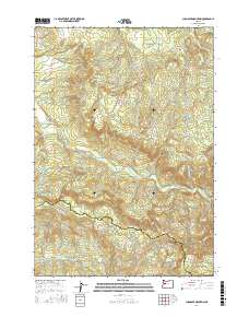
2017 Map of Chandler Mountain
USGS Topo · Published 2017About this map
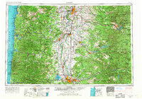
Chandler Mountain and the surrounding timberlands of the Cascade foothills define this landscape, where the headwaters of several significant drainages converge. The Calapooia River winds through the central portion of the quadrangle, joined by tributaries such as Carrie Fork and Cedar Cr. This area, situated along the border of Linn and Lane counties, shows a complex network of forest access roads including Upper Calapooia Dr and Green Mt Main, reflecting the region's long-standing reliance on the timber industry. To the south, the Mohawk River drainage begins to take shape, followed by Mohawk River Rd. Notable landmarks such as Chimney Rock and Cassnor Park provide distinct navigational points within the dense topography, while the small settlement of Calapooia sits near the river's path in the northwest.
Find a feature on this map
28 named features on this map. Tap any name to fly to it.
Don’t see what you’re looking for? This feature index may not catch every label — zoom into the map to look around manually.
Map Details
Editions of this 2017 Chandler Mountain Map
This is the sole edition of this map. No revisions or reprints were ever made.
Other maps of this area
1921 · Brownsville
USGS Topo · 1:62,500
1950 · Marcola
USGS Topo · 1:62,500
1950 · Brownsville
USGS Topo · 1:62,500
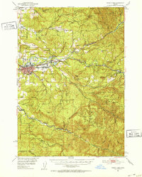
1951 · Sweet Home
USGS Topo · 1:62,500
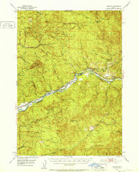
1951 · Leaburg
USGS Topo · 1:62,500
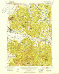
1952 · Brownsville
USGS Topo · 1:62,500
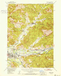
1952 · Marcola
USGS Topo · 1:62,500

1953 · Salem
USGS Topo · 1:250,000

1954 · Salem
USGS Topo · 1:250,000
1960 · Salem
USGS Topo · 1:250,000