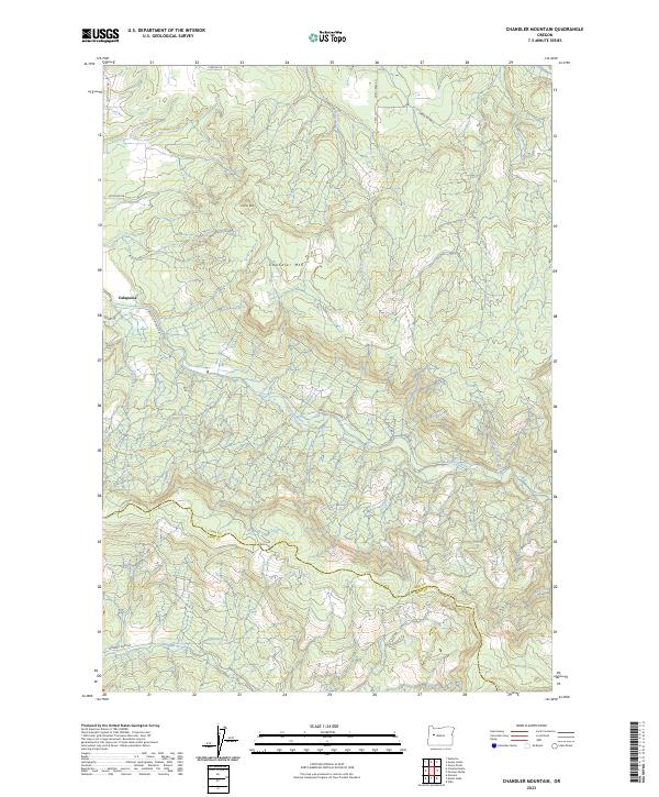
2023 Map of Chandler Mountain
USGS Topo · Published 2023About this map
The Calapooia River flows through this timbered landscape along the boundary between Linn and Lane counties. This modern survey reveals a rugged interior dominated by Chandler Mtn and Cassnor Peak, where the drainage divide separates the waters of the Calapooia River from the Mohawk River to the south. The small settlement of Calapooia sits in the northwest, connected to the backcountry by a network of logging and access roads including Upper Calapooia Dr and Ames Creek Rd. This map provides a contemporary record of these high ridges and their many tributaries, such as Jackson Creek and Pugh Creek, documenting the current watershed and road access into this part of the Oregon Cascades foothills.
Find a feature on this map
27 named features on this map. Tap any name to fly to it.
Don’t see what you’re looking for? This feature index may not catch every label — zoom into the map to look around manually.
Map Details
Editions of this 2023 Chandler Mountain Map
This is the sole edition of this map. No revisions or reprints were ever made.
Other maps of this area

1921 · Brownsville
USGS Topo · 1:62,500

1950 · Marcola
USGS Topo · 1:62,500

1950 · Brownsville
USGS Topo · 1:62,500

1951 · Sweet Home
USGS Topo · 1:62,500

1951 · Leaburg
USGS Topo · 1:62,500

1952 · Brownsville
USGS Topo · 1:62,500

1952 · Marcola
USGS Topo · 1:62,500

1953 · Salem
USGS Topo · 1:250,000

1954 · Salem
USGS Topo · 1:250,000

1960 · Salem
USGS Topo · 1:250,000