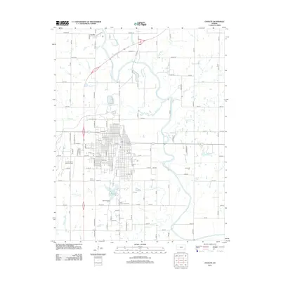
1990 Map of Chanute
USGS Topo · Published 1990About this map
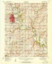
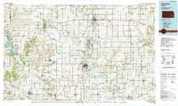
The Neosho River and Verdigris River systems anchor the landscape of Southeast Kansas in this 1990 survey, showing the agricultural and transportation heart of Neosho, Allen, and Woodson counties. Major population centers like Chanute, Iola, and Humboldt are mapped in detail, connected by a dense network of highways and the legacy routes of the Atchison Topeka and Santa Fe RR and Missouri Pacific RR. The map illustrates a region defined by its water resources, from the large expanse of Toronto Lake in the west to smaller landmarks like Santa Fe Lake and Martin Johnson Lake. Recreational and conservation areas are prominent, including the Woodson State Fishing Lake and Wildlife Area and Toronto State Park. The transition from river valley to upland is marked by distinct terrain features like Dewey Mound and Long Mound, while the presence of the Allen Co Comm College and multiple municipal airports indicates the modern infrastructure serving these rural communities.
Find a feature on this map
124 named features on this map. Tap any name to fly to it.
Don’t see what you’re looking for? This feature index may not catch every label — zoom into the map to look around manually.
Map Details
Editions of this 1990 Chanute Map
This is the sole edition of this map. No revisions or reprints were ever made.
Historical Maps of Chanute Through Time
9 maps found