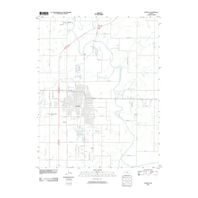
2009 Map of Chanute
USGS Topo · Published 2009About this map
The city of Chanute dominates this Neosho County landscape, showing a dense street grid punctuated by civic infrastructure and recreation areas in the early 2000s. The meandering Neosho River defines the eastern and northern reaches of the quadrangle, where the Barker Dam and the winding Village Creek influence the local hydrology. This area reflects a mid-continent settlement pattern where municipal growth, represented by the Chanute Martin Johnson Airport and several residential extensions, meets the agricultural and riparian corridors of the Kansas plains.
Find a feature on this map
61 named features on this map. Tap any name to fly to it.
Don’t see what you’re looking for? This feature index may not catch every label — zoom into the map to look around manually.
Map Details
Editions of this 2009 Chanute Map
This is the sole edition of this map. No revisions or reprints were ever made.
Other maps of this area

1886 · Fredonia
USGS Topo · 1:125,000

1886 · Iola
USGS Topo · 1:125,000

1893 · Iola
USGS Topo · 1:125,000

1894 · Fredonia
USGS Topo · 1:125,000

1904 · Iola
USGS Topo · 1:125,000

1938 · Altoona
USGS Topo · 1:62,500

1939 · Altoona
USGS Topo · 1:48,000

1943 · Altoona
USGS Topo · 1:62,500

1947 · Joplin
USGS Topo · 1:250,000

1949 · Joplin
USGS Topo · 1:250,000