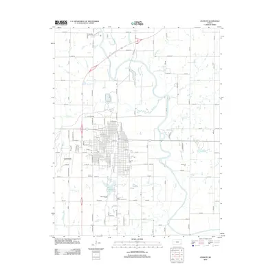
2012 Map of Chanute
USGS Topo · Published 2012About this map
The Neosho River meanders through this landscape, defining the eastern reach of the city where Petrolia sits to the north. In town, the layout reflects a settled community anchored by the Neosho County Community College and several significant burial grounds, including Saint Patricks Cem and Elmwood Cem. The southern edge of the city transitions into recreational and residential spaces near Santa Fe Lake, featuring the Safari Public Golf Course and the Santa Fe Safari Campground.
Find a feature on this map
117 named features on this map. Tap any name to fly to it.
Don’t see what you’re looking for? This feature index may not catch every label — zoom into the map to look around manually.
Map Details
Editions of this 2012 Chanute Map
This is the sole edition of this map. No revisions or reprints were ever made.
Other maps of this area

1886 · Fredonia
USGS Topo · 1:125,000

1886 · Iola
USGS Topo · 1:125,000

1893 · Iola
USGS Topo · 1:125,000

1894 · Fredonia
USGS Topo · 1:125,000

1904 · Iola
USGS Topo · 1:125,000

1938 · Altoona
USGS Topo · 1:62,500

1939 · Altoona
USGS Topo · 1:48,000

1943 · Altoona
USGS Topo · 1:62,500

1947 · Joplin
USGS Topo · 1:250,000

1949 · Joplin
USGS Topo · 1:250,000