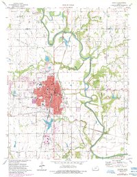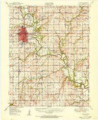
1951 Map of Chanute
USGS Topo · Published 1951About this map
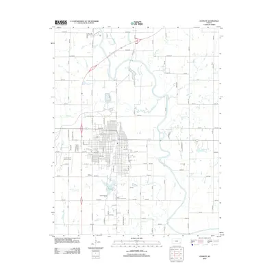
The Neosho River meanders through this portion of Neosho and Allen Counties, its fertile floodplains protected by a series of levees. The landscape is defined by the industrial and agricultural hub of Chanute, where the intersection of the Atchison Topeka and Santa Fe and Missouri - Kansas - Texas railroads spurred significant mid-century growth. Beyond the city center, a dense network of country schools like Prairie Queen Sch, Cottage Grove Sch, and Leanna Sch reflects the historical distribution of small farming communities across the prairie.
Find a feature on this map
56 named features on this map. Tap any name to fly to it.
Don’t see what you’re looking for? This feature index may not catch every label — zoom into the map to look around manually.
Map Details
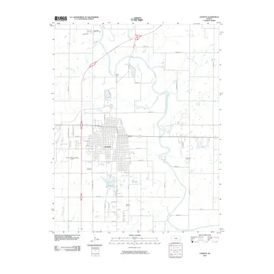
Editions of this 1951 Chanute Map
2 editions found
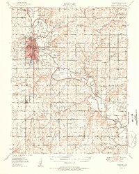
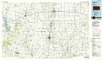
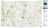
Historical Maps of Chanute Through Time
9 maps found