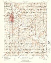
1951 Map of Chanute
USGS Topo · Published 1951About this map
The Neosho River meanders through this mid-century landscape, defining the character of both the terrain and the local economy. At the heart of the sheet lies Chanute, a growing rail hub at the intersection of the Missouri Kansas and Texas and the Atchison Topeka and Santa Fe railroads. The presence of a massive Oil Field and numerous scattered oil wells suggests an era of intensive resource extraction, while the dense network of rural schools like Prairie Queen Sch and Leanna Sch points to a vibrant, populated countryside.
Find a feature on this map
71 named features on this map. Tap any name to fly to it.
Don’t see what you’re looking for? This feature index may not catch every label — zoom into the map to look around manually.
Map Details
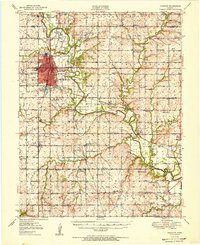
Editions of this 1951 Chanute Map
2 editions found
Other maps of this area

1886 · Fredonia
USGS Topo · 1:125,000

1886 · Iola
USGS Topo · 1:125,000

1886 · Independence
USGS Topo · 1:125,000

1886 · Parsons
USGS Topo · 1:125,000

1893 · Iola
USGS Topo · 1:125,000

1893 · Parsons
USGS Topo · 1:125,000

1894 · Fredonia
USGS Topo · 1:125,000

1894 · Independence
USGS Topo · 1:125,000

1904 · Iola
USGS Topo · 1:125,000

1905 · Independence
USGS Topo · 1:125,000