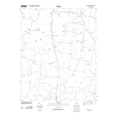
2010 Map of Chapel Hill
USGS Topo · Published 2010About this map
Eagleville and Chapel Hill anchor this rural Tennessee landscape, where a dense network of family cemeteries and local landmarks reveals generations of settlement. The terrain is defined by the headwaters of numerous creeks, including the West Fork Spring Creek and North Fork Flat Creek, which carve through the limestone-rich topography of the region. Notable elevations such as Buckeye Ridge, Giles Hill, and Wallace Hill rise above the stream valleys, creating a distinct ridge-and-hollow pattern that has historically influenced the placement of farms and transit routes.
Find a feature on this map
110 named features on this map. Tap any name to fly to it.
Don’t see what you’re looking for? This feature index may not catch every label — zoom into the map to look around manually.
Map Details
Editions of this 2010 Chapel Hill Map
This is the sole edition of this map. No revisions or reprints were ever made.
Other maps of this area

1909 · Franklin
USGS Topo · 1:62,500

1936 · Chapel Hill
USGS Topo · 1:24,000

1936 · Farmington
USGS Topo · 1:24,000

1936 · Rover
USGS Topo · 1:24,000

1936 · Verona
USGS Topo · 1:24,000

1936 · Rally Hill
USGS Topo · 1:24,000

1936 · Unionville
USGS Topo · 1:24,000

1936 · Bethesda
USGS Topo · 1:24,000

1942 · Lebanon
USGS Topo · 1:100,000

1944 · Shelbyville
USGS Topo · 1:100,000