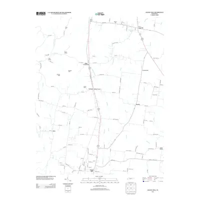
2013 Map of Chapel Hill
USGS Topo · Published 2013About this map
Chapel Hill and Eagleville anchor this landscape along the Marshall and Rutherford County line, where the central transportation corridor of Railroad Rd and Highway 31A dictates the settlement pattern. This region is defined by its network of minor waterways, including W Fork Spring Cr, Kelly Cr, and Overall Cr, which drain the undulating terrain marked by landforms like Buckeye Ridge and Swaim Knob. The map reveals several small communities and rural junctions, such as Riggs Crossroads, Holts Corner, and Beasley, reflecting a long-standing agricultural and residential footprint. Local landmarks such as the Flat Creek School and T-Top Airfield provide specific points of interest for those researching local community development or family history in these rural Tennessee townships.
Find a feature on this map
115 named features on this map. Tap any name to fly to it.
Don’t see what you’re looking for? This feature index may not catch every label — zoom into the map to look around manually.
Map Details
Editions of this 2013 Chapel Hill Map
This is the sole edition of this map. No revisions or reprints were ever made.
Other maps of this area

1909 · Franklin
USGS Topo · 1:62,500

1936 · Chapel Hill
USGS Topo · 1:24,000

1936 · Farmington
USGS Topo · 1:24,000

1936 · Rover
USGS Topo · 1:24,000

1936 · Verona
USGS Topo · 1:24,000

1936 · Rally Hill
USGS Topo · 1:24,000

1936 · Unionville
USGS Topo · 1:24,000

1936 · Bethesda
USGS Topo · 1:24,000

1942 · Lebanon
USGS Topo · 1:100,000

1944 · Shelbyville
USGS Topo · 1:100,000