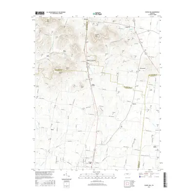
2016 Map of Chapel Hill
USGS Topo · Published 2016About this map
The Tennessee Valley Divide cuts through this landscape where four counties—Williamson, Marshall, Rutherford, and Bedford—intersect. The topography is defined by prominent rises like Buckeye Ridge and Buckeye Knob, while the drainage network includes the winding Flat Cr and W Fork Spring Cr. Small agricultural settlements such as Riggs Crossroads and Holts Corner serve as local hubs, connected by a network of country roads like Old Hwy 99 and Floyd Rd.
Find a feature on this map
157 named features on this map. Tap any name to fly to it.
Don’t see what you’re looking for? This feature index may not catch every label — zoom into the map to look around manually.
Map Details
Editions of this 2016 Chapel Hill Map
This is the sole edition of this map. No revisions or reprints were ever made.
Other maps of this area

1909 · Franklin
USGS Topo · 1:62,500

1936 · Chapel Hill
USGS Topo · 1:24,000

1936 · Farmington
USGS Topo · 1:24,000

1936 · Rover
USGS Topo · 1:24,000

1936 · Verona
USGS Topo · 1:24,000

1936 · Rally Hill
USGS Topo · 1:24,000

1936 · Unionville
USGS Topo · 1:24,000

1936 · Bethesda
USGS Topo · 1:24,000

1942 · Lebanon
USGS Topo · 1:100,000

1944 · Shelbyville
USGS Topo · 1:100,000