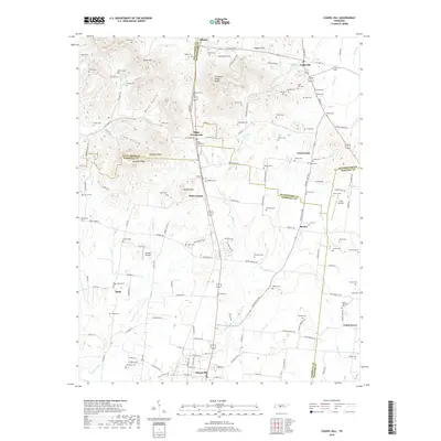
2019 Map of Chapel Hill
USGS Topo · Published 2019About this map
Chapel Hill serves as a southern anchor for this section of Middle Tennessee, where the landscape transitions across the Tennessee Valley Divide. The map details a dense network of early settlements and family crossroads, including Riggs Crossroads, Holts Corner, and Beasley. The terrain is defined by prominent elevations like Giles Hill and Buckeye Ridge, which separate the agricultural lowlands from the more dissected uplands.
Find a feature on this map
166 named features on this map. Tap any name to fly to it.
Don’t see what you’re looking for? This feature index may not catch every label — zoom into the map to look around manually.
Map Details
Editions of this 2019 Chapel Hill Map
This is the sole edition of this map. No revisions or reprints were ever made.
Other maps of this area

1909 · Franklin
USGS Topo · 1:62,500

1936 · Chapel Hill
USGS Topo · 1:24,000

1936 · Farmington
USGS Topo · 1:24,000

1936 · Rover
USGS Topo · 1:24,000

1936 · Verona
USGS Topo · 1:24,000

1936 · Rally Hill
USGS Topo · 1:24,000

1936 · Unionville
USGS Topo · 1:24,000

1936 · Bethesda
USGS Topo · 1:24,000

1942 · Lebanon
USGS Topo · 1:100,000

1944 · Shelbyville
USGS Topo · 1:100,000