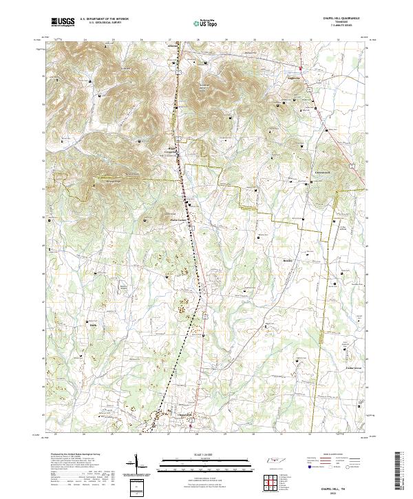
2022 Map of Chapel Hill
USGS Topo · Published 2022About this map
Chapel Hill and its surrounding countryside represent a convergence of Middle Tennessee's rolling geography and deep-rooted agricultural heritage. The landscape is defined by the Tennessee Valley Divide, a physical barrier that separates the drainage systems of local waterways like Grove Cr and Spring Creek. Settlement patterns here are historically decentralized, with small crossroads such as Riggs Crossroads, Holts Corner, and Beasley serving as local hubs. The abundance of family-named cemeteries, including the Giles Cem, McDowell Cem, and Marrs Hill Cem, offers a detailed genealogical roadmap of the area's early residents.
Find a feature on this map
161 named features on this map. Tap any name to fly to it.
Don’t see what you’re looking for? This feature index may not catch every label — zoom into the map to look around manually.
Map Details
Editions of this 2022 Chapel Hill Map
This is the sole edition of this map. No revisions or reprints were ever made.
Other maps of this area

1909 · Franklin
USGS Topo · 1:62,500
1936 · Chapel Hill
USGS Topo · 1:24,000
1936 · Farmington
USGS Topo · 1:24,000
1936 · Rover
USGS Topo · 1:24,000
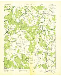
1936 · Verona
USGS Topo · 1:24,000
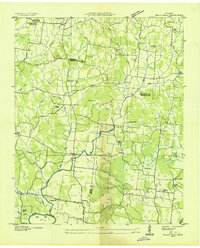
1936 · Rally Hill
USGS Topo · 1:24,000
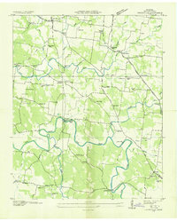
1936 · Unionville
USGS Topo · 1:24,000
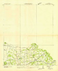
1936 · Bethesda
USGS Topo · 1:24,000

1942 · Lebanon
USGS Topo · 1:100,000
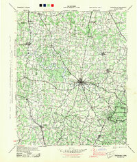
1944 · Shelbyville
USGS Topo · 1:100,000