
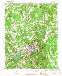
1946 Map of Chapel Hill
USGS Topo · Published 1958About this map
The town of Chapel Hill and neighboring Carrboro serve as the focal point of this mid-century survey, which reveals a landscape of university expansion and rural transitions. The map detail highlights the development around Tenney Circle and Davie Circle, while the Southern railroad line snakes through the region, connecting smaller outlying settlements like Blackwood and Calvander. To the west, University Lake anchors the drainage basin for Morgan Creek, while the presence of Horace Williams Airport underscores the area's modernization.
Find a feature on this map
61 named features on this map. Tap any name to fly to it.
Don’t see what you’re looking for? This feature index may not catch every label — zoom into the map to look around manually.
Map Details
Editions of this 1946 Chapel Hill Map
2 editions found
Other maps of this area

1943 · Durham South
USGS Topo · 1:62,500

1947 · Chapel Hill
USGS Topo · 1:31,680

1951 · Farrington
USGS Topo · 1:24,000

1951 · Durham South
USGS Topo · 1:62,500

1951 · Durham North
USGS Topo · 1:62,500

1953 · Raleigh
USGS Topo · 1:250,000

1953 · Greensboro
USGS Topo · 1:250,000

1954 · Greensboro
USGS Topo · 1:250,000

1954 · Raleigh
USGS Topo · 1:250,000

1962 · Greensboro
USGS Topo · 1:250,000