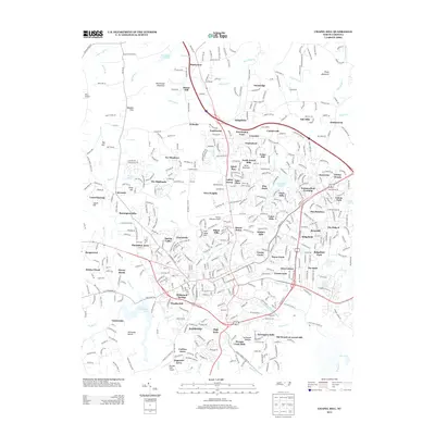
1978 Map of Chapel Hill
USGS Topo · Published 1978About this map
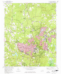
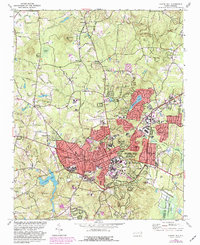
The university town of Chapel Hill and neighboring Carrboro are shown at a point of significant growth in the late 1970s. The campus landscape is defined by landmarks like Kenan Stadium, the Hospital, and numerous local schools ranging from Lincoln Sch to Chapel Hill High Sch. Beyond the dense town centers, the terrain transitions into the Piedmont hills, featuring prominent elevations such as Blackwood Mtn and Iron Mine Hill.
Find a feature on this map
85 named features on this map. Tap any name to fly to it.
Don’t see what you’re looking for? This feature index may not catch every label — zoom into the map to look around manually.
Map Details
Editions of this 1978 Chapel Hill Map
3 editions found
Historical Maps of Durham Through Time
11 maps found
1946 Chapel Hill
Orange County, NC
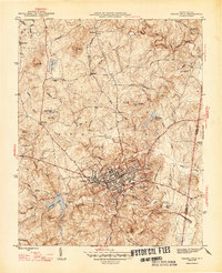
1947 Chapel Hill
Orange County, NC
1978 Chapel Hill
Orange County, NC
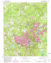
1980 Chapel Hill
Orange County, NC

1984 Chapel Hill
Orange County, NC
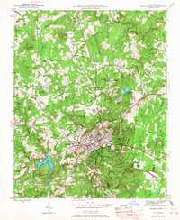
1993 Chapel Hill
Orange County, NC
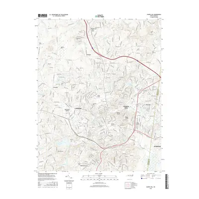
2010 Chapel Hill
Orange County, NC
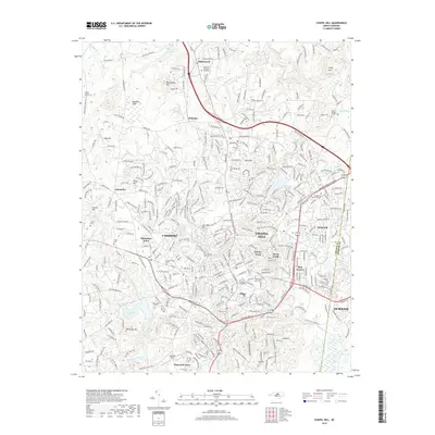
2013 Chapel Hill
Orange County, NC
2016 Chapel Hill
Orange County, NC
2019 Chapel Hill
Orange County, NC
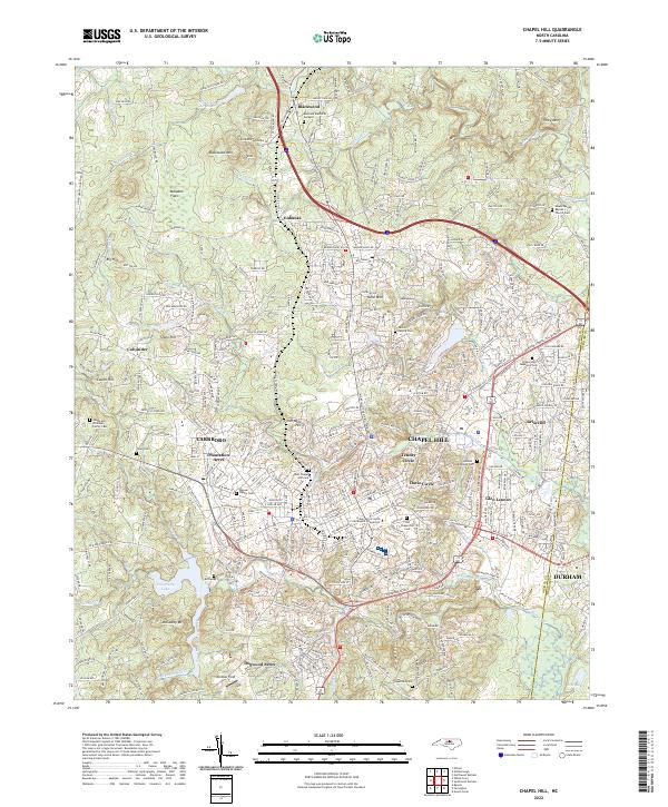
2022 Chapel Hill
Orange County, NC