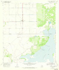
1969 Map of Chapin Ranch
USGS Topo · Published 1972About this map
The Chapman Ranch settlement serves as the central hub of this coastal Texas landscape, where the long stretch of Chapman Road meets the geometric precision of local land surveying. Situated near the boundary of Nueces Co and Kleberg Co, the area is defined by a sparse but vital network of water infrastructure. Numerous family-named and descriptive landmarks, such as Portales Windmill, Aguila Windmill, and Doches Windmill, are scattered across the terrain, indicating the historical importance of groundwater management for ranching operations in this semi-arid region.
Find a feature on this map
20 named features on this map. Tap any name to fly to it.
Don’t see what you’re looking for? This feature index may not catch every label — zoom into the map to look around manually.
Map Details
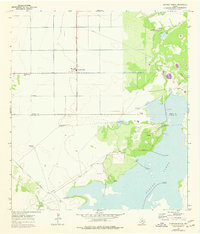
Editions of this 1969 Chapin Ranch Map
2 editions found
Other maps of this area

1924 · Petronilla
USGS Topo · 1:62,500

1925 · Oso Creek
USGS Topo · 1:62,500

1928 · Sarita
USGS Topo · 1:125,000

1950 · Corpus Christi
USGS Topo · 1:250,000

1951 · South Bird Island
USGS Topo · 1:24,000

1951 · South Bird Island NW
USGS Topo · 1:24,000

1951 · Oso Creek NW
USGS Topo · 1:24,000

1951 · Oso Creek NE
USGS Topo · 1:24,000

1951 · Riviera Beach NE
USGS Topo · 1:24,000

1951 · Oso Creek
USGS Topo · 1:62,500