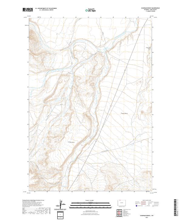
2021 Map of Chapman Bench
USGS Topo · Published 2021About this map
Clarks Fork Yellowstone River flows through this Wyoming landscape, where the land is defined by distinct elevated plateaus known as benches. Agricultural development in this arid region is visible through the engineering of the Lake Cr Ditch and the State Ditch, which divert water to support local ranching and farming. The topography transitions from the high, flat surface of Chapman Bench down into rugged drainage systems like Little Sand Coulee. Numerous seasonal and perennial streams, including Pat O'Hara Cr and Paint Cr, carve through the terrain, while local routes such as Little Sand Coulee Rd provide access through the valley floors. This map captures the intersection of natural watercourses and the irrigation infrastructure necessary to manage the high plains environment.
Find a feature on this map
23 named features on this map. Tap any name to fly to it.
Don’t see what you’re looking for? This feature index may not catch every label — zoom into the map to look around manually.
Map Details
Editions of this 2021 Chapman Bench Map
This is the sole edition of this map. No revisions or reprints were ever made.
Other maps of this area

1949 · Pat O'Hara Mountain
USGS Topo · 1:62,500

1949 · Cody
USGS Topo · 1:62,500

1950 · Clark
USGS Topo · 1:62,500

1950 · Deep Lake
USGS Topo · 1:62,500

1951 · Cody
USGS Topo · 1:62,500

1955 · Cody
USGS Topo · 1:250,000

1958 · Cody
USGS Topo · 1:250,000

1962 · Cody
USGS Topo · 1:250,000

1980 · Cody
USGS Topo · 1:100,000
1987 · Badger Basin
USGS Topo · 1:24,000