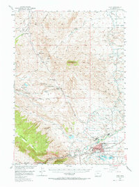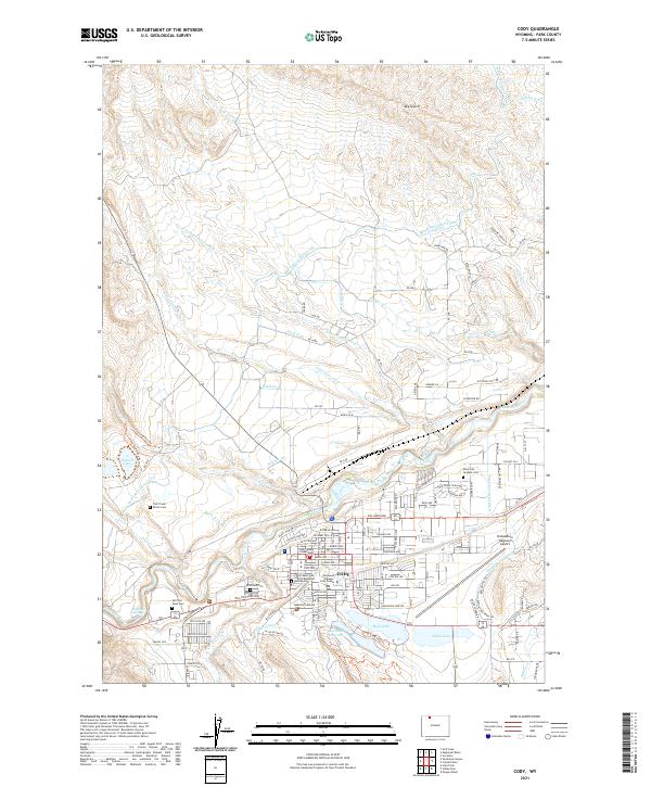
1980 Map of Cody
USGS Topo · Published 1982About this map
The Shoshone National Forest and the eastern edge of Yellowstone National Park dominate this 1980 survey, illustrating a landscape defined by dramatic geological transitions. The terrain shifts from the high, lake-strewn alpine plateau of the Beartooth Mountains in the north to the sharp descent of Clarks Fork Canyon. Human industry is marked by the Painter Mine and Sunlight Mineral Springs in the interior, while the town of Cody serves as the gateway to the east. The Buffalo Bill Reservoir and the Burlington Northern railroad corridor near Ralston Flats highlight the critical infrastructure supporting this mountain-and-basin economy. Notable landmarks like Heart Mountain and The Palisades provide clear orientation points for those studying the regional geography of the Absaroka and Beartooth ranges during this era.
Find a feature on this map
91 named features on this map. Tap any name to fly to it.
Don’t see what you’re looking for? This feature index may not catch every label — zoom into the map to look around manually.
Map Details
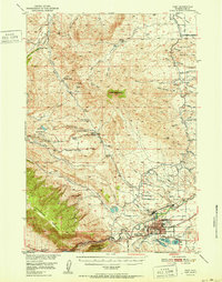
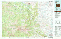
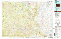
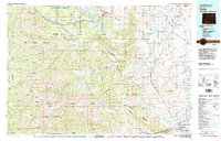
Editions of this 1980 Cody Map
3 editions found
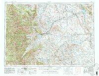
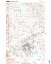
Historical Maps of Cody Through Time
8 maps found