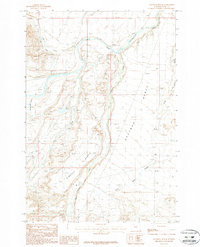
1987 Map of Chapman Bench
USGS Topo · Published 1987About this map
The Clarks Fork Yellowstone River dominates the northern landscape of this Park County region, carving through high plateau terrain. Large-scale topographic features like Chapman Bench and Kimball Bench define the local geography, illustrating the dramatic elevation shifts characteristic of this part of Wyoming. These broad, flat-topped landforms are dissected by several drainages, including Pat O'Hara Creek and Paint Creek, which flow toward the primary river valley.
Find a feature on this map
10 named features on this map. Tap any name to fly to it.
Don’t see what you’re looking for? This feature index may not catch every label — zoom into the map to look around manually.
Map Details
Editions of this 1987 Chapman Bench Map
This is the sole edition of this map. No revisions or reprints were ever made.
Other maps of this area

1949 · Pat O'Hara Mountain
USGS Topo · 1:62,500

1949 · Cody
USGS Topo · 1:62,500

1950 · Clark
USGS Topo · 1:62,500

1950 · Deep Lake
USGS Topo · 1:62,500

1951 · Cody
USGS Topo · 1:62,500

1955 · Cody
USGS Topo · 1:250,000

1958 · Cody
USGS Topo · 1:250,000

1962 · Cody
USGS Topo · 1:250,000

1980 · Cody
USGS Topo · 1:100,000
1987 · Badger Basin
USGS Topo · 1:24,000