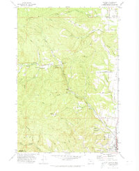
1971 Map of Chapman
USGS Topo · Published 1973About this map
Bunker Hill dominates the northern terrain of this Columbia County survey, where the timbered ridges and deep creek drainages of the Oregon Coast Range meet the developing valley floors. The community of Chapman sits at the junction of the Pittsburg Road and Vernonia Road, serving as a focal point alongside nearby Spitzenberg. Further east, the landscape transitions toward the lowlands near Scappoose, where the Burlington Northern railroad corridor and local landmarks like Apple Valley and Sherman Reservoir indicate a more settled agricultural and industrial character.
Find a feature on this map
64 named features on this map. Tap any name to fly to it.
Don’t see what you’re looking for? This feature index may not catch every label — zoom into the map to look around manually.
Map Details
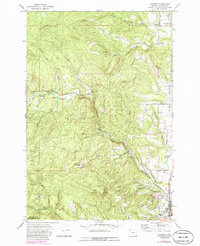
Editions of this 1971 Chapman Map
2 editions found
Other maps of this area

1915 · Hillsboro
USGS Topo · 1:62,500

1918 · Hillsboro
USGS Topo · 1:62,500

1922 · St. Helens
USGS Topo · 1:62,500

1940 · Hillsboro
USGS Topo · 1:62,500

1940 · Vernonia
USGS Topo · 1:62,500

1941 · St Helens
USGS Topo · 1:62,500

1941 · Gales Creek
USGS Topo · 1:62,500

1943 · Vernonia
USGS Topo · 1:62,500

1943 · St Helens
USGS Topo · 1:62,500

1948 · Vancouver
USGS Topo · 1:250,000