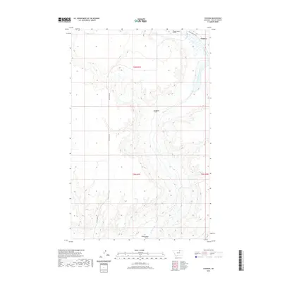
2020 Map of Chapman
USGS Topo · Published 2020About this map
Chapman sits in the northeastern corner of this Phillips County landscape, situated near the intersection of the Turner Cutacross Rd and Woody Island Creek. The topography is defined by the complex drainage patterns of the Woody Island Coulee and Horseshoe Coulee, which carve through the high plains of northern Montana. This 2020 survey illustrates the remote character of the region, where section lines and dirt roads like Black Coulee Rd provide the primary human structure across townships T36N R27E and T35N R27E. The map detail highlights how seasonal watercourses and coulees dictate the placement of transportation routes and small outposts in this expansive ranching and prairie environment.
Find a feature on this map
10 named features on this map. Tap any name to fly to it.
Don’t see what you’re looking for? This feature index may not catch every label — zoom into the map to look around manually.
Map Details
Editions of this 2020 Chapman Map
This is the sole edition of this map. No revisions or reprints were ever made.
Other maps of this area
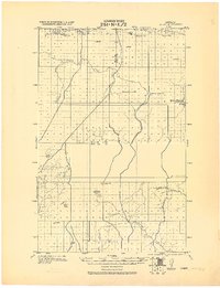
1920 · Avery
USGS Topo · 1:125,000

1953 · Havre
USGS Topo · 1:250,000

1957 · Havre
USGS Topo · 1:250,000

1958 · Havre
USGS Topo · 1:250,000
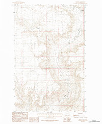
1984 · Chapman
USGS Topo · 1:24,000
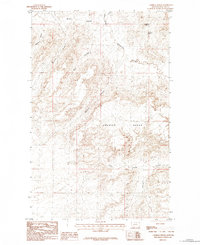
1984 · Emerick Bench
USGS Topo · 1:24,000
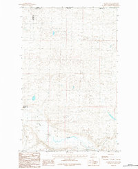
1984 · Chapman NW
USGS Topo · 1:24,000
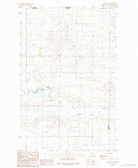
1984 · Turner NE
USGS Topo · 1:24,000
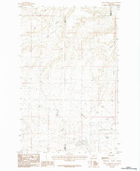
1984 · Down Reservoir NE
USGS Topo · 1:24,000
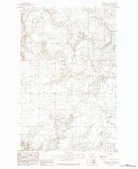
1984 · Horseshoe Lake
USGS Topo · 1:24,000