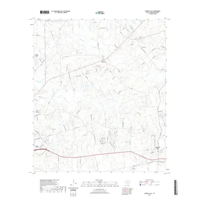
2019 Map of Chappell Hill
USGS Topo · Published 2019About this map
Chappell Hill and Earlywine anchor this portion of Washington County, where the landscape is defined by the winding drainages of Kuykendall Cr, Rocky Cr, and New Year Cr. The area is notably dense with family and community burial grounds, reflecting deep roots and ancestral heritage near the eastern edge of Brenham. To the west, the Brenham Municipal Airport marks a modern utility contrast against the numerous creeks and small water bodies like Stolz Lake and Research Farms Lake.
Find a feature on this map
116 named features on this map. Tap any name to fly to it.
Don’t see what you’re looking for? This feature index may not catch every label — zoom into the map to look around manually.
Map Details
Editions of this 2019 Chappell Hill Map
This is the sole edition of this map. No revisions or reprints were ever made.
Other maps of this area

1914 · Gay Hill
USGS Topo · 1:62,500

1914 · Navasota
USGS Topo · 1:62,500

1930 · Brenham
USGS Topo · 1:62,500

1954 · Austin
USGS Topo · 1:250,000

1956 · Hempstead
USGS Topo · 1:62,500

1956 · Brenham
USGS Topo · 1:62,500

1958 · Washington
USGS Topo · 1:24,000

1959 · Gay Hill
USGS Topo · 1:24,000

1959 · Independence
USGS Topo · 1:24,000
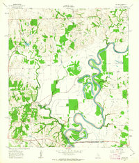
1961 · Daniels
USGS Topo · 1:24,000