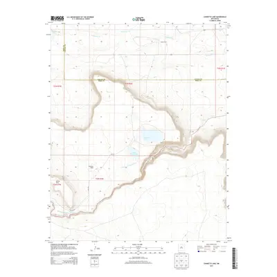
2013 Map of Charette Lake
USGS Topo · Published 2013About this map
Charette Lake and Upper Charette Lake anchor this high-plains landscape where the boundary between Colfax and Mora counties meanders across the terrain. The hydrological management of the region is evident through the Charette Lake Diversion Canal, which connects the natural drainage of Ocate Creek to the lake system. Notable topographic features include the prominent Charette Mesa and Apache Mesa, which dominate the western portion of the sheet.
Find a feature on this map
18 named features on this map. Tap any name to fly to it.
Don’t see what you’re looking for? This feature index may not catch every label — zoom into the map to look around manually.
Map Details
Editions of this 2013 Charette Lake Map
This is the sole edition of this map. No revisions or reprints were ever made.
Other maps of this area
1954 · Raton
USGS Topo · 1:250,000
1956 · Miami
USGS Topo · 1:62,500
1958 · Raton
USGS Topo · 1:250,000
1964 · Wagon Mound
USGS Topo · 1:24,000
1964 · Colmor
USGS Topo · 1:24,000
1964 · Pinon Hills
USGS Topo · 1:24,000
1966 · Mora Ranch
USGS Topo · 1:24,000
1966 · Cerro Negro
USGS Topo · 1:24,000
1966 · La Chata Crater
USGS Topo · 1:24,000
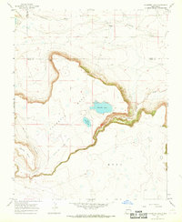
1966 · Charette Lake
USGS Topo · 1:24,000