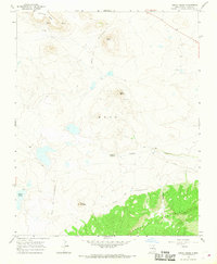
1966 Map of Cerro Negro
USGS Topo · Published 1968About this map
The Santa Fe Trail (Mountain Route) traverses this high-altitude landscape in Mora County, following the historical paths of 19th-century trade and migration. This mid-1960s survey documents a network of trails and pioneer routes, including the Wagon Mound Cutoff, which weave through a terrain defined by volcanic peaks and high mesas. The prominence of Cerro Negro and Cerro del Oro—the latter featuring a Cinder Pit—underscores the region's geologic character and industrial utility.
Find a feature on this map
17 named features on this map. Tap any name to fly to it.
Don’t see what you’re looking for? This feature index may not catch every label — zoom into the map to look around manually.
Map Details
Editions of this 1966 Cerro Negro Map
This is the sole edition of this map. No revisions or reprints were ever made.
Other maps of this area

1889 · Las Vegas
USGS Topo · 1:125,000

1891 · Las Vegas
USGS Topo · 1:125,000

1892 · Watrous
USGS Topo · 1:125,000

1893 · Las Vegas
USGS Topo · 1:125,000

1894 · Watrous
USGS Topo · 1:125,000

1954 · Santa Fe
USGS Topo · 1:250,000

1954 · Raton
USGS Topo · 1:250,000

1958 · Raton
USGS Topo · 1:250,000

1958 · Santa Fe
USGS Topo · 1:250,000

1963 · Fort Union
USGS Topo · 1:24,000