
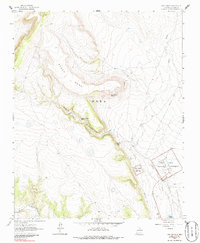
1963 Map of Fort Union
USGS Topo · Published 1964About this map
Fort Union National Monument serves as the central focal point of this geographic study, preserving the extensive Ruins and Headquarters of the key frontier military post. Located near the Mora River, the site reflects its critical 19th-century role as a guardian of western commerce. The legendary Santa Fe Trail is clearly delineated as it passes through the valley, providing a tangible link to the era of overland wagon trade.
Find a feature on this map
21 named features on this map. Tap any name to fly to it.
Don’t see what you’re looking for? This feature index may not catch every label — zoom into the map to look around manually.
Map Details
Editions of this 1963 Fort Union Map
2 editions found
Other maps of this area

1889 · Las Vegas
USGS Topo · 1:125,000

1891 · Las Vegas
USGS Topo · 1:125,000

1892 · Watrous
USGS Topo · 1:125,000

1893 · Las Vegas
USGS Topo · 1:125,000

1894 · Watrous
USGS Topo · 1:125,000

1954 · Santa Fe
USGS Topo · 1:250,000

1954 · Raton
USGS Topo · 1:250,000

1958 · Raton
USGS Topo · 1:250,000

1958 · Santa Fe
USGS Topo · 1:250,000

1963 · Lake Isabel
USGS Topo · 1:24,000