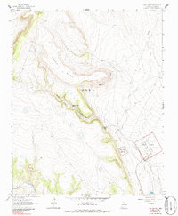
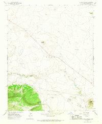
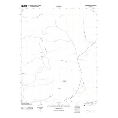
1963 Map of Fort Union
USGS Topo · Published 1986About this map
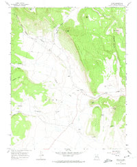
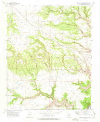
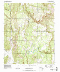
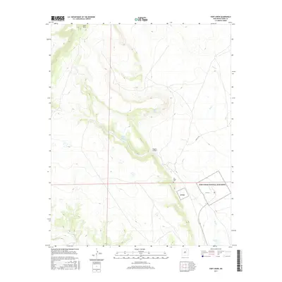
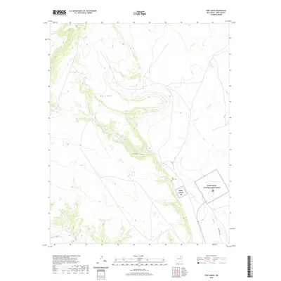
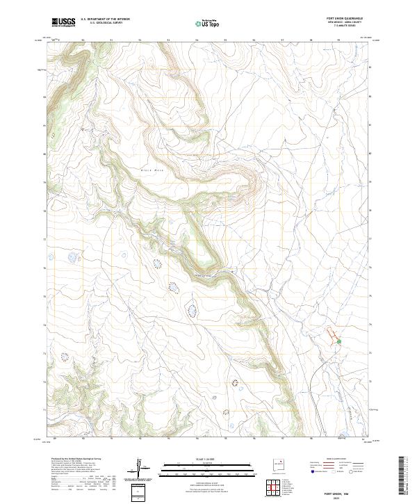
Fort Union National Monument serves as the focal point of this 1963 survey, preserving the legacy of the prominent frontier military post in the high plains of Mora. The map details the Ruins and Headquarters of the site, which was a critical hub of the Santa Fe Trail during the mid-19th century. The surrounding landscape is dominated by the volcanic profile of Black Mesa and the deep incision of Higgins Canyon, where reliable water sources like Higgins Canyon Spring and Black Mesa Spring were vital for travelers and livestock alike. Traces of historical land use are evident in the Fort Union Cem and the Fort Union Ranch. The Mora River and Wolf Creek provide the primary drainage for this arid territory, where the convergence of military history and iconic southwestern trails is etched into the topography.
Find a feature on this map
21 named features on this map. Tap any name to fly to it.
Don’t see what you’re looking for? This feature index may not catch every label — zoom into the map to look around manually.
Map Details
Editions of this 1963 Fort Union Map
2 editions found
Historical Maps of Mora County Through Time
198 maps found
1963 Fort Union
Mora County, NM
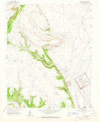
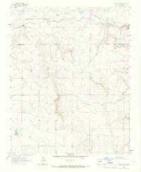
1963 Loma Parda
Mora County, NM
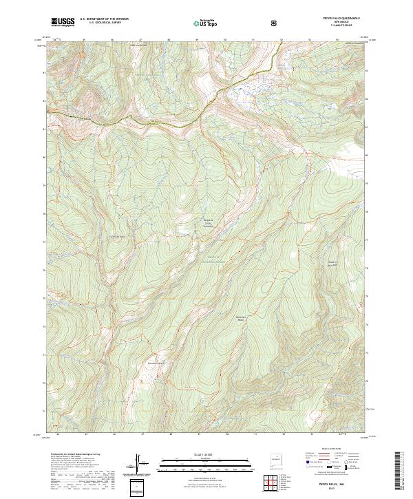
1963 Pecos Falls
Mora County, NM

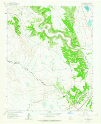
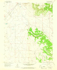
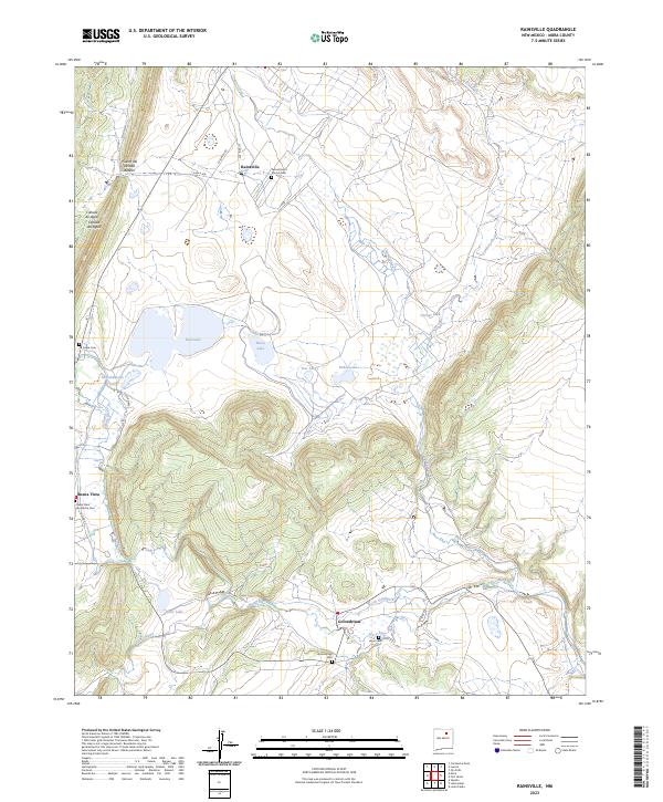
1963 Rainsville
Mora County, NM
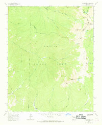
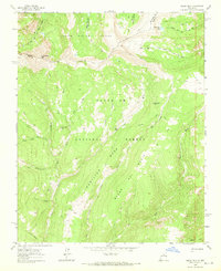
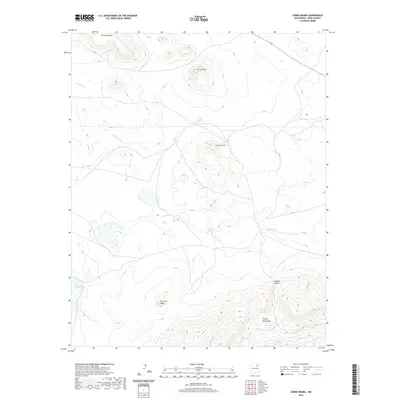
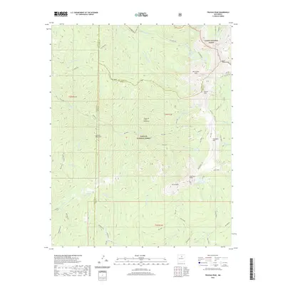
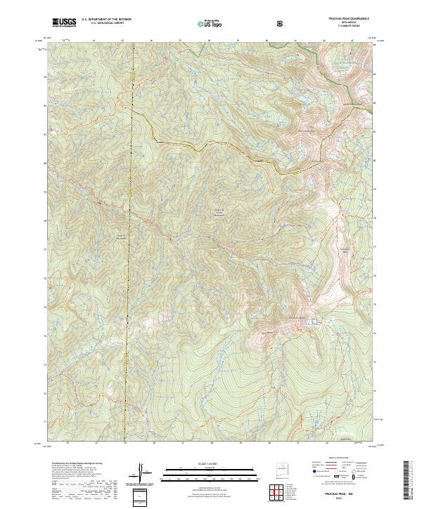
1963 Truchas Peak
Mora County, NM
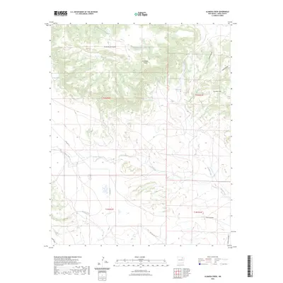
1964 Alamosa Creek
Mora County, NM
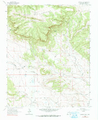
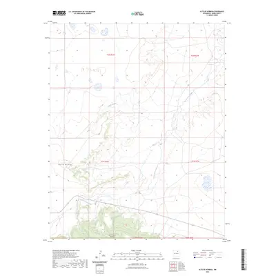
1964 Alto De Hormiga
Mora County, NM
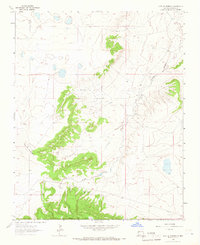
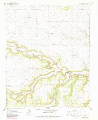
1964 Canon Ancho
Mora County, NM
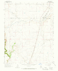
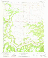
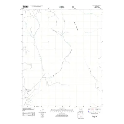
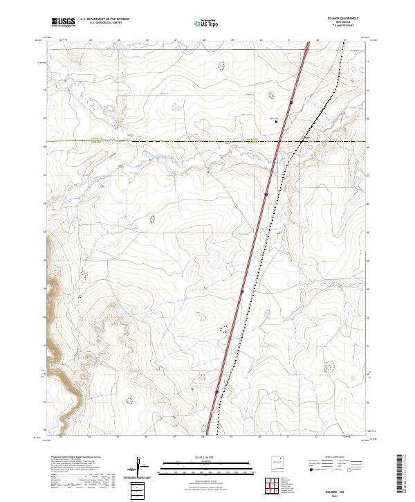
1964 Colmor
Mora County, NM
1964 Frutosa Lake
Mora County, NM
1964 Mogote Hills
Mora County, NM
1964 Stony Lake
Mora County, NM
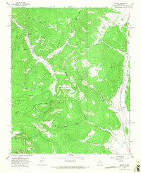
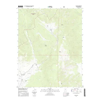
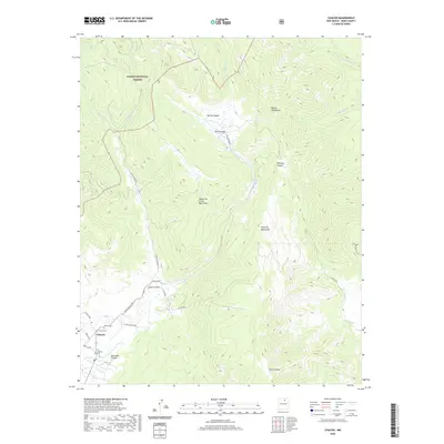
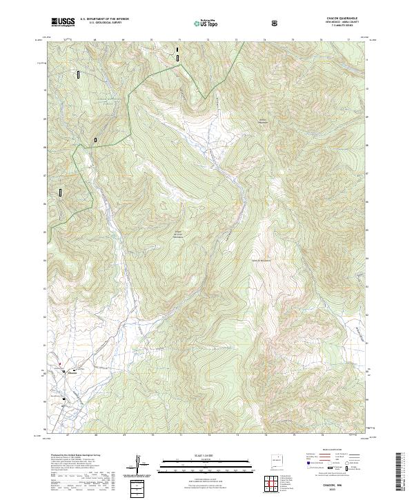
1965 Chacon
Mora County, NM
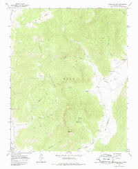
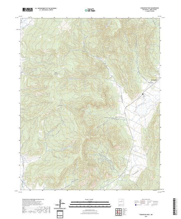
1965 Comanche Peak
Mora County, NM
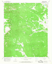
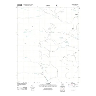
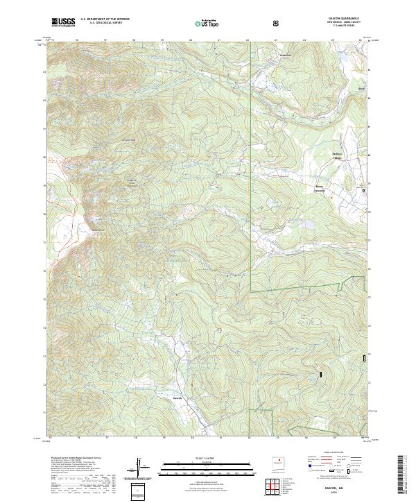
1965 Gascon
Mora County, NM
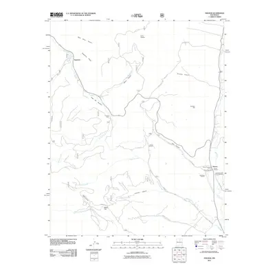
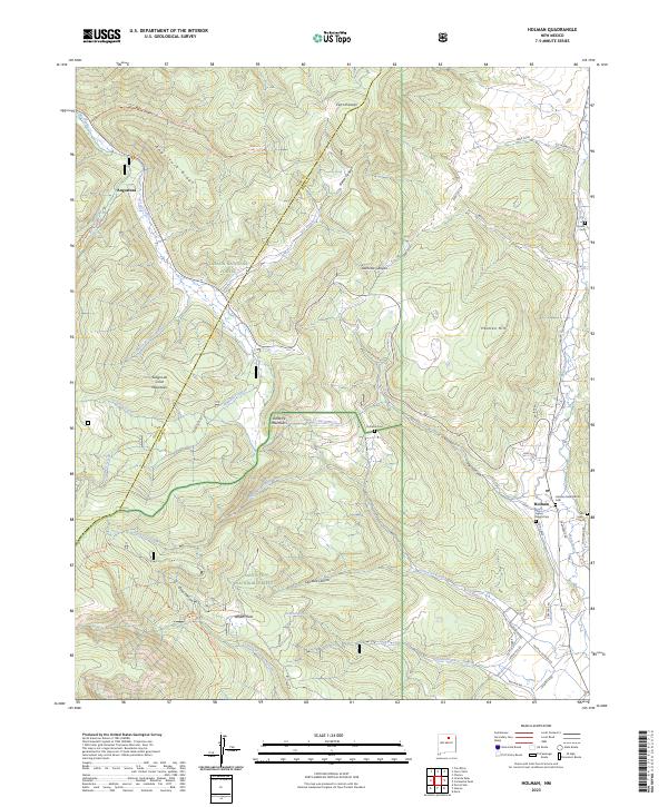
1965 Holman
Mora County, NM
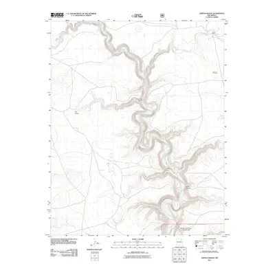
1966 Cerro Negro
Mora County, NM
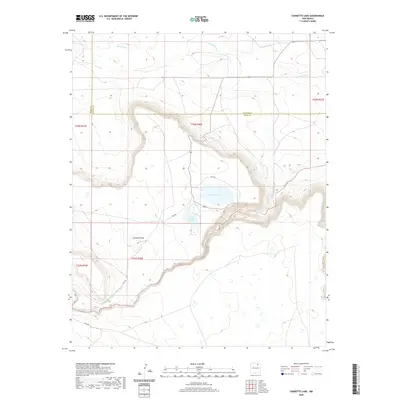
1966 Charette Lake
Mora County, NM
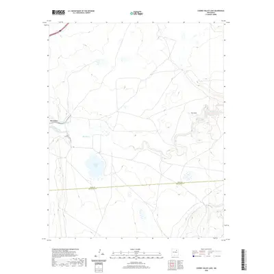
1966 Cherry Valley Lake
Mora County, NM
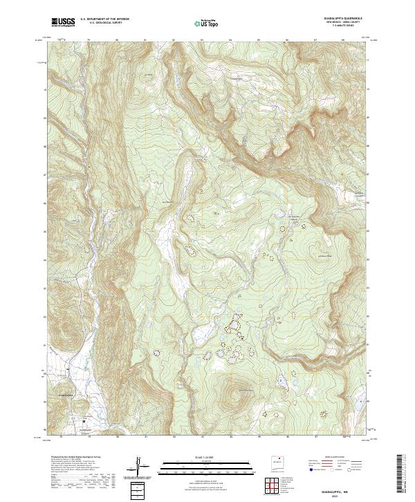
1966 Guadalupita
Mora County, NM
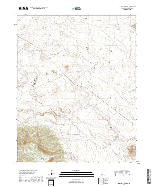
1966 La Chata Crater
Mora County, NM
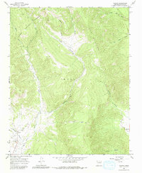
1966 Lucero
Mora County, NM
1966 Maxson Crater
Mora County, NM
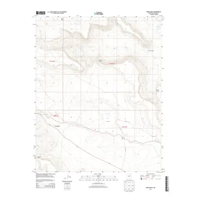
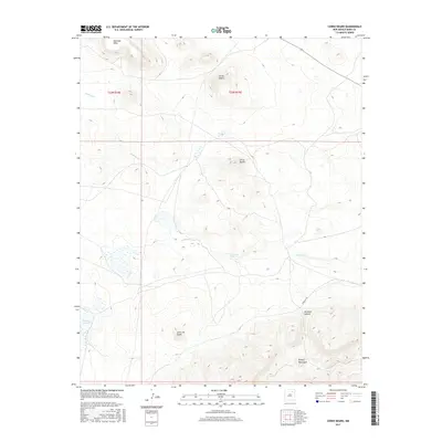
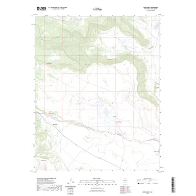
1966 Mora Ranch
Mora County, NM
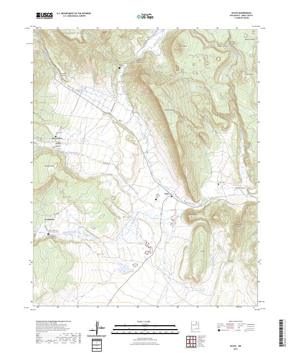
1966 Ocate
Mora County, NM
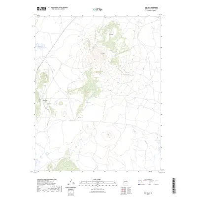
1966 Ojo Feliz
Mora County, NM
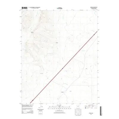
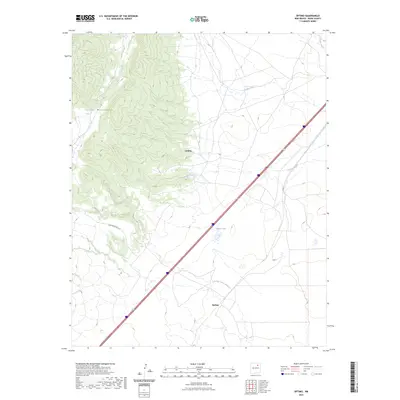
1966 Optimo
Mora County, NM
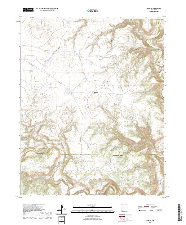
1971 Alamito
Mora County, NM
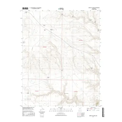
1971 Canon Las Cuevas
Mora County, NM
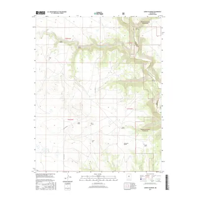
1972 Canon Colorado
Mora County, NM
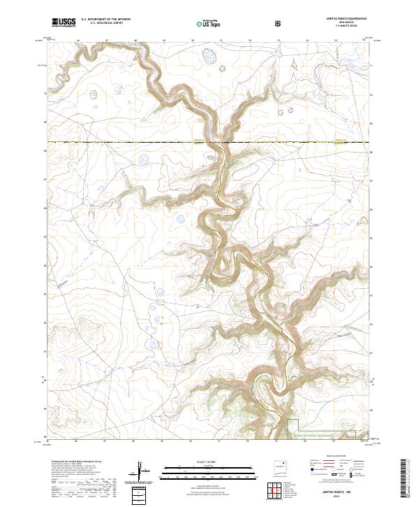
1972 Jaritas Ranch
Mora County, NM
1994 Comanche Peak
Mora County, NM
1994 Guadalupita
Mora County, NM
1994 Lucero
Mora County, NM
1994 Ocate
Mora County, NM
1994 Ojo Feliz
Mora County, NM
1995 Chacon
Mora County, NM
1995 Holman
Mora County, NM
1995 Pecos Falls
Mora County, NM
1995 Truchas Peak
Mora County, NM
1998 Canon Colorado
Mora County, NM
1998 Jaritas Ranch
Mora County, NM
2002 Gascon
Mora County, NM
2010 Alamito
Mora County, NM
2010 Alamosa Creek
Mora County, NM
2010 Alto De Hormiga
Mora County, NM
2010 Canon Ancho
Mora County, NM
2010 Canon Las Cuevas
Mora County, NM
2010 Cerro Negro
Mora County, NM
2010 Charette Lake
Mora County, NM
2010 Cherry Valley Lake
Mora County, NM
2010 Colmor
Mora County, NM
2010 Comanche Peak
Mora County, NM
2010 Fort Union
Mora County, NM
2010 Frutosa Lake
Mora County, NM
2010 Guadalupita
Mora County, NM
2010 La Chata Crater
Mora County, NM
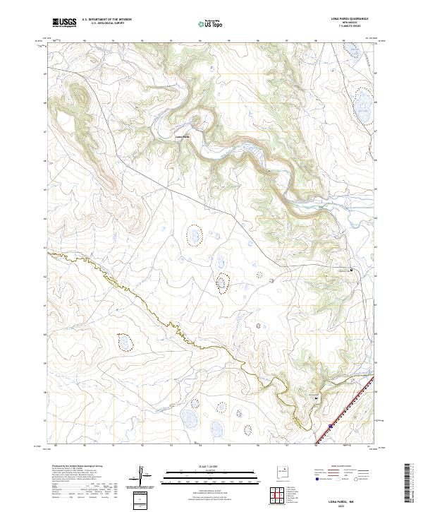
2010 Loma Parda
Mora County, NM
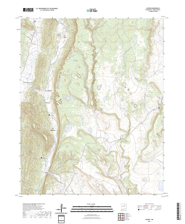
2010 Lucero
Mora County, NM
2010 Maxson Crater
Mora County, NM
2010 Mogote Hills
Mora County, NM
2010 Mora Ranch
Mora County, NM
2010 Ocate
Mora County, NM
2010 Ojo Feliz
Mora County, NM
2010 Optimo
Mora County, NM
2010 Rainsville
Mora County, NM
2010 Stony Lake
Mora County, NM
2011 Canon Colorado
Mora County, NM
2011 Chacon
Mora County, NM
2011 Gascon
Mora County, NM
2011 Holman
Mora County, NM
2011 Jaritas Ranch
Mora County, NM
2011 Pecos Falls
Mora County, NM
2011 Truchas Peak
Mora County, NM
2013 Alamito
Mora County, NM
2013 Alamosa Creek
Mora County, NM

2013 Alto De Hormiga
Mora County, NM
2013 Canon Ancho
Mora County, NM
2013 Canon Colorado
Mora County, NM
2013 Canon Las Cuevas
Mora County, NM
2013 Cerro Negro
Mora County, NM
2013 Chacon
Mora County, NM
2013 Charette Lake
Mora County, NM
2013 Cherry Valley Lake
Mora County, NM
2013 Colmor
Mora County, NM
2013 Comanche Peak
Mora County, NM
2013 Fort Union
Mora County, NM
2013 Frutosa Lake
Mora County, NM
2013 Gascon
Mora County, NM
2013 Guadalupita
Mora County, NM
2013 Holman
Mora County, NM
2013 Jaritas Ranch
Mora County, NM
2013 La Chata Crater
Mora County, NM
2013 Loma Parda
Mora County, NM
2013 Lucero
Mora County, NM
2013 Maxson Crater
Mora County, NM
2013 Mogote Hills
Mora County, NM
2013 Mora Ranch
Mora County, NM
2013 Ocate
Mora County, NM
2013 Ojo Feliz
Mora County, NM
2013 Optimo
Mora County, NM
2013 Pecos Falls
Mora County, NM
2013 Rainsville
Mora County, NM
2013 Stony Lake
Mora County, NM
2013 Truchas Peak
Mora County, NM
2017 Alamito
Mora County, NM
2017 Alamosa Creek
Mora County, NM
2017 Alto De Hormiga
Mora County, NM
2017 Canon Ancho
Mora County, NM
2017 Canon Colorado
Mora County, NM
2017 Canon Las Cuevas
Mora County, NM
2017 Cerro Negro
Mora County, NM
2017 Chacon
Mora County, NM
2017 Charette Lake
Mora County, NM
2017 Cherry Valley Lake
Mora County, NM
2017 Colmor
Mora County, NM
2017 Comanche Peak
Mora County, NM
2017 Fort Union
Mora County, NM
2017 Frutosa Lake
Mora County, NM
2017 Gascon
Mora County, NM
2017 Guadalupita
Mora County, NM
2017 Holman
Mora County, NM

2017 Jaritas Ranch
Mora County, NM
2017 La Chata Crater
Mora County, NM
2017 Loma Parda
Mora County, NM
2017 Lucero
Mora County, NM
2017 Maxson Crater
Mora County, NM
2017 Mogote Hills
Mora County, NM
2017 Mora Ranch
Mora County, NM
2017 Ocate
Mora County, NM
2017 Ojo Feliz
Mora County, NM
2017 Optimo
Mora County, NM
2017 Pecos Falls
Mora County, NM
2017 Rainsville
Mora County, NM
2017 Stony Lake
Mora County, NM
2017 Truchas Peak
Mora County, NM
2020 Alamito
Mora County, NM
2020 Alamosa Creek
Mora County, NM
2020 Alto De Hormiga
Mora County, NM
2020 Canon Ancho
Mora County, NM
2020 Canon Colorado
Mora County, NM
2020 Canon Las Cuevas
Mora County, NM
2020 Cerro Negro
Mora County, NM
2020 Chacon
Mora County, NM
2020 Charette Lake
Mora County, NM
2020 Cherry Valley Lake
Mora County, NM
2020 Colmor
Mora County, NM
2020 Comanche Peak
Mora County, NM
2020 Fort Union
Mora County, NM
2020 Frutosa Lake
Mora County, NM
2020 Gascon
Mora County, NM
2020 Guadalupita
Mora County, NM
2020 Holman
Mora County, NM
2020 Jaritas Ranch
Mora County, NM
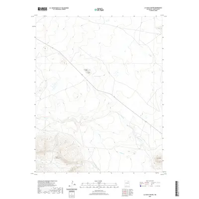
2020 La Chata Crater
Mora County, NM
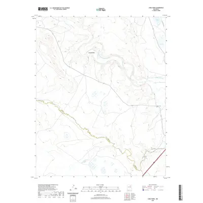
2020 Loma Parda
Mora County, NM
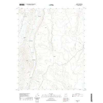
2020 Lucero
Mora County, NM
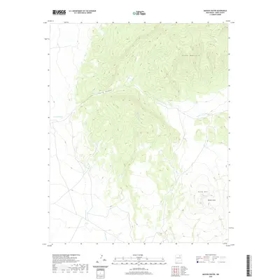
2020 Maxson Crater
Mora County, NM
2020 Mogote Hills
Mora County, NM
2020 Mora Ranch
Mora County, NM
2020 Ocate
Mora County, NM
2020 Ojo Feliz
Mora County, NM
2020 Optimo
Mora County, NM
2020 Pecos Falls
Mora County, NM
2020 Rainsville
Mora County, NM
2020 Stony Lake
Mora County, NM
2020 Truchas Peak
Mora County, NM
2023 Alamito
Mora County, NM
2023 Alamosa Creek
Mora County, NM
2023 Alto De Hormiga
Mora County, NM
2023 Canon Ancho
Mora County, NM
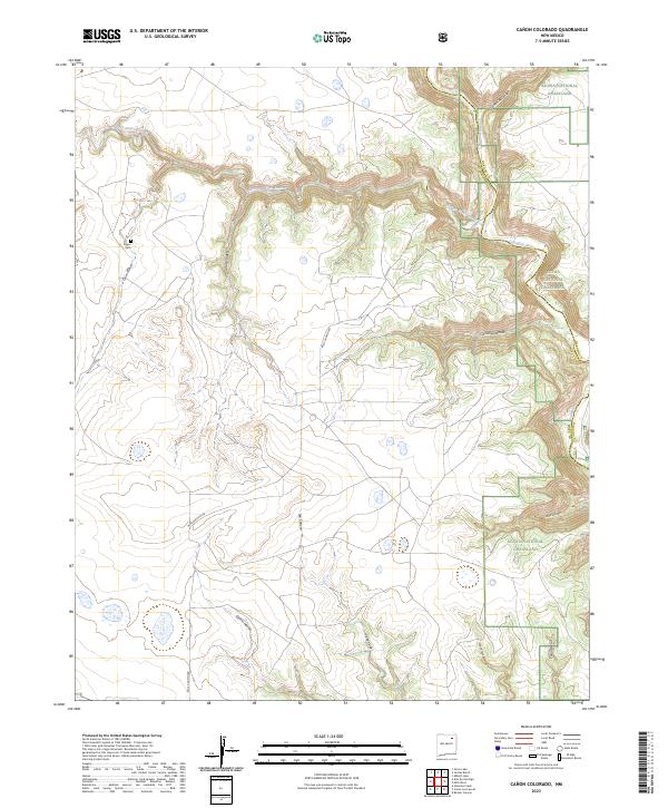
2023 Canon Colorado
Mora County, NM
2023 Canon Las Cuevas
Mora County, NM
2023 Cerro Negro
Mora County, NM
2023 Chacon
Mora County, NM
2023 Charette Lake
Mora County, NM
2023 Cherry Valley Lake
Mora County, NM
2023 Colmor
Mora County, NM
2023 Comanche Peak
Mora County, NM
2023 Fort Union
Mora County, NM
2023 Frutosa Lake
Mora County, NM
2023 Gascon
Mora County, NM
2023 Guadalupita
Mora County, NM
2023 Holman
Mora County, NM
2023 Jaritas Ranch
Mora County, NM
2023 La Chata Crater
Mora County, NM
2023 Loma Parda
Mora County, NM
2023 Lucero
Mora County, NM
2023 Maxson Crater
Mora County, NM
2023 Mogote Hills
Mora County, NM
2023 Mora Ranch
Mora County, NM
2023 Ocate
Mora County, NM
2023 Ojo Feliz
Mora County, NM
2023 Optimo
Mora County, NM
2023 Pecos Falls
Mora County, NM
2023 Rainsville
Mora County, NM
2023 Stony Lake
Mora County, NM
2023 Truchas Peak
Mora County, NM