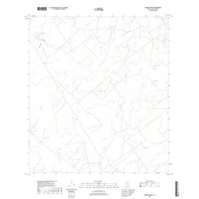
2019 Map of Chargos Creek
USGS Topo · Published 2019About this map
Fred Bruni Rd provides the primary access through this arid landscape of southern Zapata County, where water management is the defining feature of the terrain. The presence of numerous named catchments, such as Compania Tank, Tortuga Tank, and Rodriguez Tank, indicates a landscape historically organized around ranching and livestock. These tanks, along with larger bodies like Fred M Bruni Lake Number 2, are essential features in a region drained by a network of intermittent streams. The drainage pattern is complex, with Chargos Cr, Taquache Cr, and Coma Cr carving channels through the brushland. To the east, Walker Lake and Porvenir Ranch Lake stand as notable landmarks. This 2019 survey documents a sparsely populated ranching territory where the distribution of water sources like Llano Tank and the naming of ephemeral watercourses like Arroyo Grande trace the boundaries of land use in the Texas borderlands.
Find a feature on this map
16 named features on this map. Tap any name to fly to it.
Don’t see what you’re looking for? This feature index may not catch every label — zoom into the map to look around manually.
Map Details
Editions of this 2019 Chargos Creek Map
This is the sole edition of this map. No revisions or reprints were ever made.
Other maps of this area
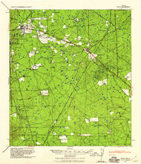
1939 · Bruni
USGS Topo · 1:62,500
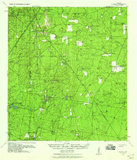
1939 · Randado
USGS Topo · 1:62,500
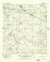
1940 · Aguilares
USGS Topo · 1:62,500
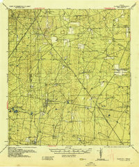
1940 · Randado
USGS Topo · 1:62,500
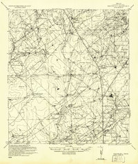
1940 · Mogotes Hill
USGS Topo · 1:62,500
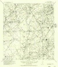
1956 · Mogotes Hill
USGS Topo · 1:62,500

1956 · Laredo
USGS Topo · 1:250,000
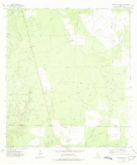
1972 · Albercas Ranch
USGS Topo · 1:24,000
1972 · Thompsonville
USGS Topo · 1:24,000
1972 · Randado
USGS Topo · 1:24,000