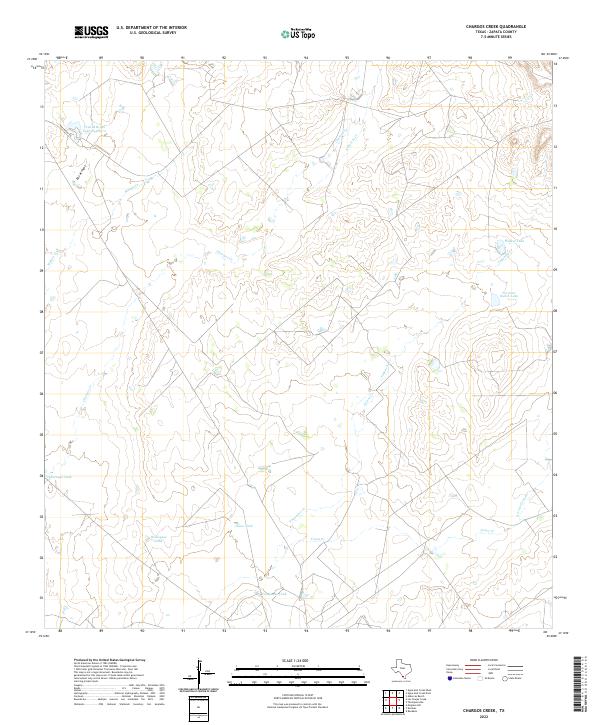
2022 Map of Chargos Creek
USGS Topo · Published 2022About this map
Chargos Cr winds through this Zapata County landscape, defining a terrain of intermittent streams and managed water resources essential to South Texas ranching. The map centers on a network of drainage systems like Taquache Cr and Mulato Cr that converge toward the Rio Grande valley. Land use is clearly marked by the presence of numerous tanks, including Rodriguez Tank, Llano Tank, and Compañia Tank, which serve as vital water collection points in this arid region.
Find a feature on this map
16 named features on this map. Tap any name to fly to it.
Don’t see what you’re looking for? This feature index may not catch every label — zoom into the map to look around manually.
Map Details
Editions of this 2022 Chargos Creek Map
This is the sole edition of this map. No revisions or reprints were ever made.
Other maps of this area

1939 · Bruni
USGS Topo · 1:62,500

1939 · Randado
USGS Topo · 1:62,500

1940 · Aguilares
USGS Topo · 1:62,500

1940 · Randado
USGS Topo · 1:62,500

1940 · Mogotes Hill
USGS Topo · 1:62,500

1956 · Mogotes Hill
USGS Topo · 1:62,500

1956 · Laredo
USGS Topo · 1:250,000

1972 · Albercas Ranch
USGS Topo · 1:24,000
1972 · Thompsonville
USGS Topo · 1:24,000
1972 · Randado
USGS Topo · 1:24,000