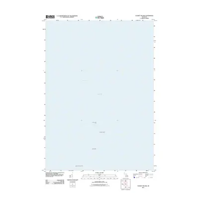
2011 Map of Charity Island
USGS Topo · Published 2011About this map
Charity Island and its smaller neighbor Little Charity Island sit isolated in the waters where Saginaw Bay meets Lake Huron. This maritime landscape is defined by its navigation landmarks, most notably the Charity Island Light, which has historically guided vessels around these limestone outcrops. The survey also identifies Gull Island, a tiny landmass positioned between the two larger islands. This map focuses entirely on this offshore archipelago, capturing the exact shoreline and positioning of these islands during the early twenty-first century. It serves as a clear record of the geological and navigational features of this remote part of Whitney Township, away from the Michigan mainland.
Find a feature on this map
6 named features on this map. Tap any name to fly to it.
Don’t see what you’re looking for? This feature index may not catch every label — zoom into the map to look around manually.
Map Details
Editions of this 2011 Charity Island Map
This is the sole edition of this map. No revisions or reprints were ever made.
Other maps of this area

1954 · Flint
USGS Topo · 1:250,000

1954 · Tawas City
USGS Topo · 1:250,000

1958 · Flint
USGS Topo · 1:250,000

1958 · Tawas City
USGS Topo · 1:250,000

1966 · Point Lookout
USGS Topo · 1:24,000

1966 · Alabaster
USGS Topo · 1:24,000

1970 · Caseville
USGS Topo · 1:24,000

1970 · Sand Point
USGS Topo · 1:24,000
1970 · Charity Island
USGS Topo · 1:24,000

1984 · Tawas City
USGS Topo · 1:100,000