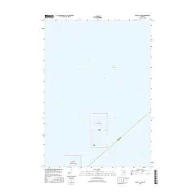
2017 Map of Charity Island
USGS Topo · Published 2017About this map
Charity Island and its smaller neighbor, Little Charity Island, sit as isolated outposts in the northern reaches of Saginaw Bay. This maritime survey captures the islands' positions within Lake Huron just before the 2020s, highlighting the boundary line between Arenac and Huron counties that bisects the open water. The map traces the low-lying contours of the landmasses, including the tiny Gull Island just south of the main island. These remote landforms, defined by the Public Land Survey System as portions of Township 19 North, Range 9 East and Township 18 North, Range 9 East, represent significant navigational landmarks for Great Lakes maritime history and ecological study in the bay.
Find a feature on this map
8 named features on this map. Tap any name to fly to it.
Don’t see what you’re looking for? This feature index may not catch every label — zoom into the map to look around manually.
Map Details
Editions of this 2017 Charity Island Map
This is the sole edition of this map. No revisions or reprints were ever made.
Other maps of this area
1954 · Flint
USGS Topo · 1:250,000
1954 · Tawas City
USGS Topo · 1:250,000
1958 · Flint
USGS Topo · 1:250,000
1958 · Tawas City
USGS Topo · 1:250,000
1966 · Point Lookout
USGS Topo · 1:24,000
1966 · Alabaster
USGS Topo · 1:24,000
1970 · Caseville
USGS Topo · 1:24,000
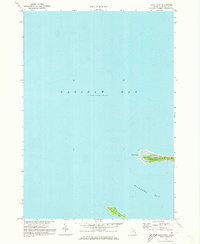
1970 · Sand Point
USGS Topo · 1:24,000
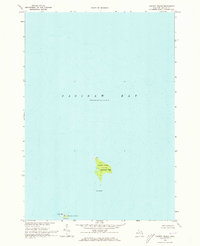
1970 · Charity Island
USGS Topo · 1:24,000
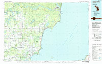
1984 · Tawas City
USGS Topo · 1:100,000