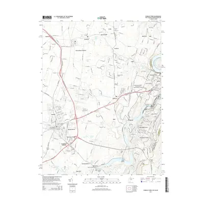
2014 Map of Charles Town
USGS Topo · Published 2014About this map
Charles Town and its surrounding Jefferson County landscape are defined by the convergence of the Potomac River and Shenandoah River. This 2014 survey documents the dense historical and modern infrastructure of the Eastern Panhandle, where the Chesapeake and Ohio Canal parallels the riverbank near Harpers Ferry. The region's transport heritage is visible in the complex rail networks of CSX Transportation and the Norfolk and Western, which intersect at Shenandoah Junction.
Find a feature on this map
71 named features on this map. Tap any name to fly to it.
Don’t see what you’re looking for? This feature index may not catch every label — zoom into the map to look around manually.
Map Details
Editions of this 2014 Charles Town Map
This is the sole edition of this map. No revisions or reprints were ever made.
Other maps of this area

1884 · Harpers Ferry
USGS Topo · 1:125,000

1891 · Harpers Ferry
USGS Topo · 1:125,000

1893 · Harpers Ferry
USGS Topo · 1:125,000

1908 · Middletown
USGS Topo · 1:48,000

1910 · Antietam
USGS Topo · 1:62,500

1914 · Martinsburg
USGS Topo · 1:48,000

1916 · Martinsburg
USGS Topo · 1:62,500

1916 · Berryville
USGS Topo · 1:62,500

1939 · Berryville
USGS Topo · 1:48,000
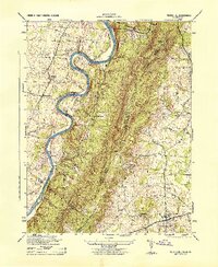
1944 · Round Hill
USGS Topo · 1:31,680