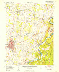
1955 Map of Charles Town
USGS Topo · Published 1956About this map
Shenandoah River and Potomac River converge at the eastern edge of this mid-century survey, framing the historic confluence at Harpers Ferry. The landscape is defined by the heavy infrastructure of the Baltimore and Ohio and Norfolk and Western railroads, which supported a local economy of limestone extraction and agriculture. In Charles Town, the presence of the Race Track, High School, and Page-Jackson High School reflects the town's role as a regional hub. To the north and west, smaller settlements like Shenandoah Junction and Bakerton dot the terrain, while the Proposed Harpers Ferry National Monument and the Appalachian Trail along the Blue Ridge ridge line show the early stages of formal land preservation. Local landmarks such as John Browns Cave and Keller Church provide specific points of interest for genealogists and local historians.
Find a feature on this map
67 named features on this map. Tap any name to fly to it.
Don’t see what you’re looking for? This feature index may not catch every label — zoom into the map to look around manually.
Map Details
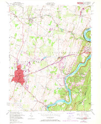
Editions of this 1955 Charles Town Map
2 editions found
Other maps of this area

1884 · Harpers Ferry
USGS Topo · 1:125,000

1891 · Harpers Ferry
USGS Topo · 1:125,000

1893 · Harpers Ferry
USGS Topo · 1:125,000

1908 · Middletown
USGS Topo · 1:48,000

1910 · Antietam
USGS Topo · 1:62,500

1914 · Martinsburg
USGS Topo · 1:48,000

1916 · Martinsburg
USGS Topo · 1:62,500

1916 · Berryville
USGS Topo · 1:62,500

1939 · Berryville
USGS Topo · 1:48,000
1944 · Round Hill
USGS Topo · 1:31,680