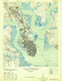
1948 Map of Charleston
USGS Topo · Published 1948About this map
The Cooper River and Ashley River converge to form the strategic harbor at Charleston, shown here in a detailed postwar military revision. This landscape is defined by its deep naval history and industrial infrastructure, dominated by the massive Navy Yard and Naval Reservation to the north. Between the rivers, the peninsula is dense with historic landmarks and rail-oriented industry, including the Southern and Seaboard Air Line railroads. Notable local settlements like Myers and Magnolia Sta sit alongside expansive burial grounds such as Magnolia Cem and St Lawrence Cem. The harbor itself is dotted with defensive structures like Castle Pinckney on Shutes Folly Is, with Fort Sumter and Fort Johnson guarding the South Channel. Along the Ashley River, older land patterns remain visible at Old Town and St Andrews, while rural outposts like Horse Pond P O and Sixmile House mark the northern roads.
Find a feature on this map
59 named features on this map. Tap any name to fly to it.
Don’t see what you’re looking for? This feature index may not catch every label — zoom into the map to look around manually.
Map Details
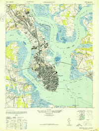
Editions of this 1948 Charleston Map
2 editions found
Other maps of this area

1919 · Ladson
USGS Topo · 1:21,120

1919 · Johns Island
USGS Topo · 1:21,120

1919 · The Jetties
USGS Topo · 1:21,120

1919 · Wadmelaw Island
USGS Topo · 1:62,500

1919 · Wando
USGS Topo · 1:21,120

1919 · Melgrove
USGS Topo · 1:21,120

1919 · Charleston
USGS Topo · 1:21,120

1919 · James Island
USGS Topo · 1:21,120

1919 · Fort Moultrie
USGS Topo · 1:21,120

1919 · Legareville
USGS Topo · 1:21,120
Featured Places
- Charleston, SC
- North Charleston, SC
- Mount Pleasant, SC
- Ashley Junction, North Charleston
- Daniel Jenkins Homes, North Charleston