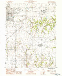
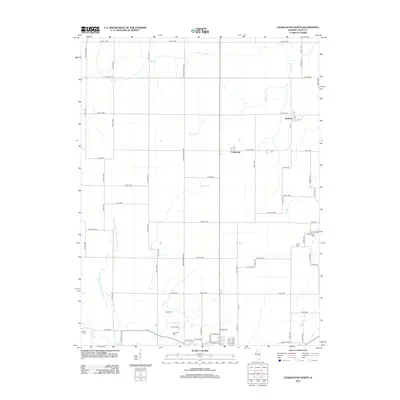
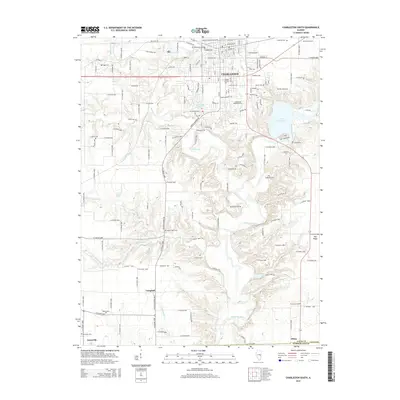
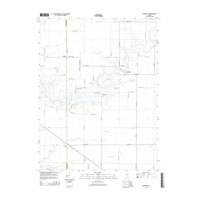
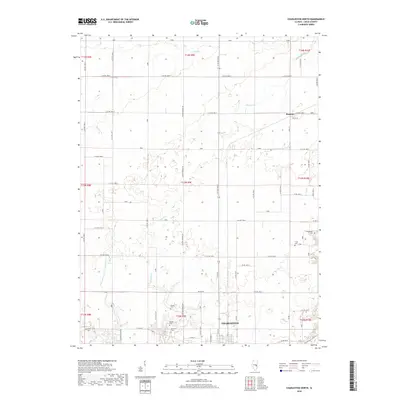
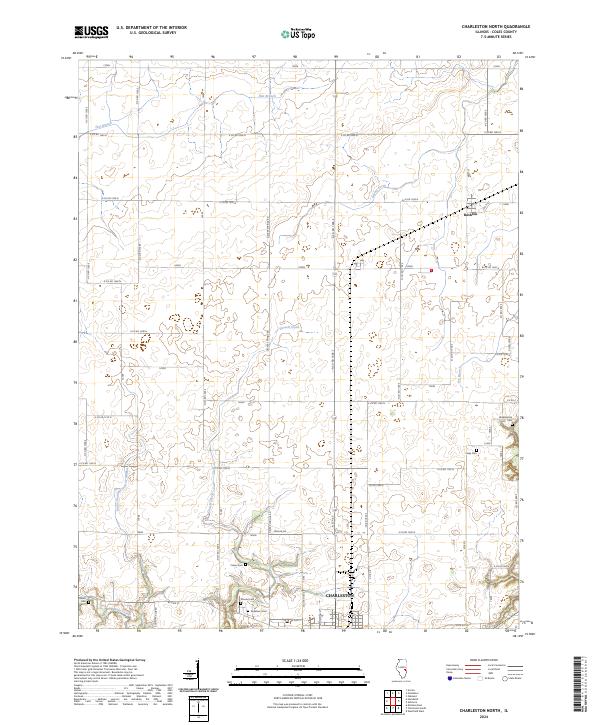
1998 Map of Charleston North
USGS Topo · Published 2003About this map
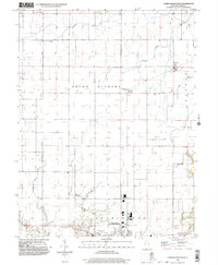
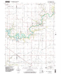
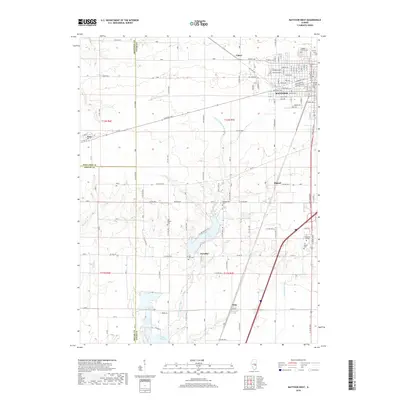
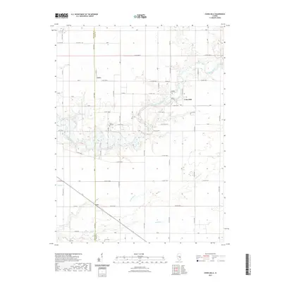
The northern reaches of Charleston anchor the southern edge of this late-twentieth-century landscape, where the prairie grid of Seven Hickory and Morgan townships is defined by agricultural precision and small crossroads settlements. Small communities like Fairgrange and Bushton serve as nodes in a network of section roads that follow the flat drainage of Flat Branch and Greasy Creek. The landscape is dotted with markers of local heritage, from the North Union Ch and Walnut Grove Ch to numerous burial grounds including Mound Cem, Roselawn Cem, and the more secluded Winkleblack Cem. The transition from the urban edge of the city to the rural expanses is evident near Cassel Creek, where residential areas and a Mobile Home Park give way to the open fields and drainage systems like the No 3 Drainage District that characterize the Coles County interior.
Find a feature on this map
35 named features on this map. Tap any name to fly to it.
Don’t see what you’re looking for? This feature index may not catch every label — zoom into the map to look around manually.
Map Details
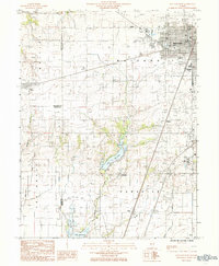
Editions of this 1998 Charleston North Map
This is the sole edition of this map. No revisions or reprints were ever made.
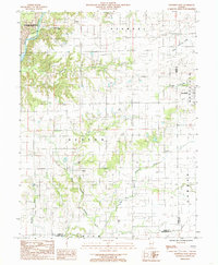
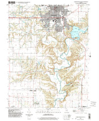
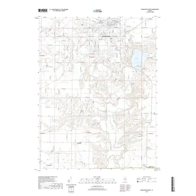
Historical Maps of Charleston Through Time
42 maps found
1982 Charleston North
Coles County, IL
1983 Cooks Mills
Coles County, IL
1984 Charleston South
Coles County, IL
1984 Mattoon East
Coles County, IL
1984 Mattoon West
Coles County, IL
1984 Westfield West
Coles County, IL
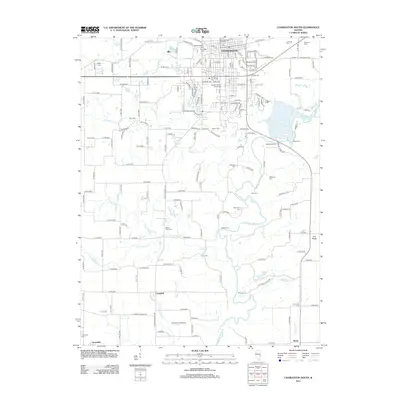
1998 Charleston North
Coles County, IL
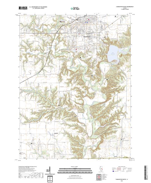
1998 Charleston South
Coles County, IL
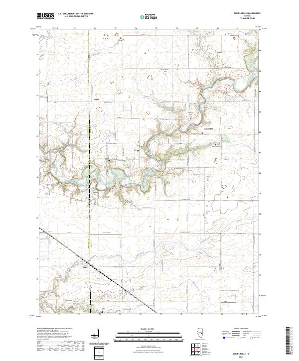
1998 Cooks Mills
Coles County, IL
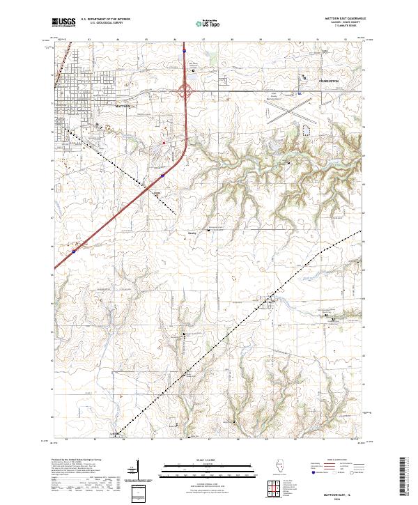
1998 Mattoon East
Coles County, IL
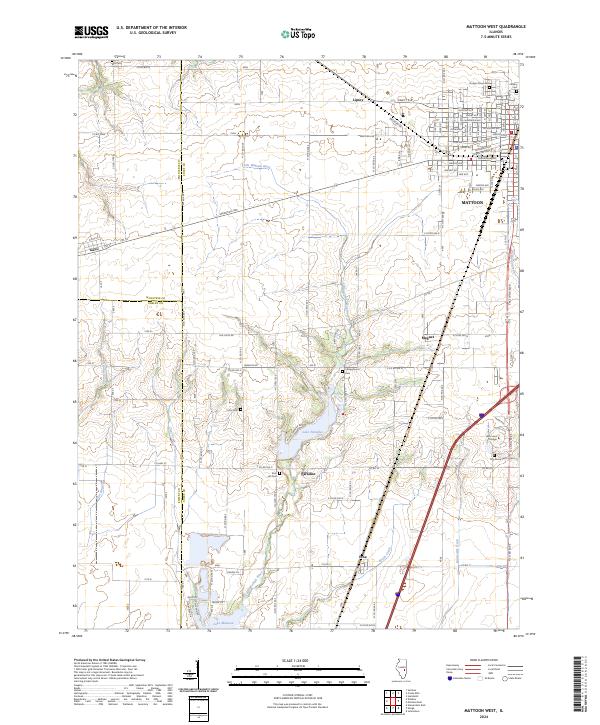
1998 Mattoon West
Coles County, IL
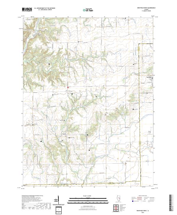
1998 Westfield West
Coles County, IL
2012 Charleston North
Coles County, IL
2012 Charleston South
Coles County, IL
2012 Cooks Mills
Coles County, IL
2012 Mattoon East
Coles County, IL
2012 Mattoon West
Coles County, IL
2012 Westfield West
Coles County, IL
2015 Charleston North
Coles County, IL
2015 Charleston South
Coles County, IL
2015 Cooks Mills
Coles County, IL
2015 Mattoon East
Coles County, IL
2015 Mattoon West
Coles County, IL
2015 Westfield West
Coles County, IL
2018 Charleston North
Coles County, IL
2018 Charleston South
Coles County, IL
2018 Cooks Mills
Coles County, IL
2018 Mattoon East
Coles County, IL
2018 Mattoon West
Coles County, IL
2018 Westfield West
Coles County, IL
2021 Charleston North
Coles County, IL
2021 Charleston South
Coles County, IL
2021 Cooks Mills
Coles County, IL
2021 Mattoon East
Coles County, IL
2021 Mattoon West
Coles County, IL
2021 Westfield West
Coles County, IL
2024 Charleston North
Coles County, IL
2024 Charleston South
Coles County, IL
2024 Cooks Mills
Coles County, IL
2024 Mattoon East
Coles County, IL
2024 Mattoon West
Coles County, IL
2024 Westfield West
Coles County, IL