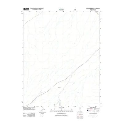
2012 Map of Charleston Peak NE
USGS Topo · Published 2012About this map
Lee Canyon cuts through the high desert terrain of Clark County in this 2012 survey, revealing the sparse but vital water sources of the Spring Mountains. Named water features like Whiskey Spring and Mud Hole Spring appear as localized landmarks amidst the alluvial fan formations. The map documents the primitive and improved transport network of the era, anchored by Cold Creek Rd in the northwest and a major highway corridor bisecting the southeast. The drainage pattern of Deer Cr illustrates the complex topography of the canyon system, providing a detailed look at the arid landscape's natural features before modern expansion further altered the environment.
Find a feature on this map
5 named features on this map. Tap any name to fly to it.
Don’t see what you’re looking for? This feature index may not catch every label — zoom into the map to look around manually.
Map Details
Editions of this 2012 Charleston Peak NE Map
This is the sole edition of this map. No revisions or reprints were ever made.
Other maps of this area
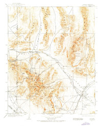
1907 · Las Vegas
USGS Topo · 1:250,000
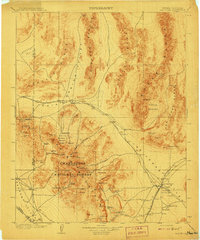
1908 · Las Vegas
USGS Topo · 1:250,000
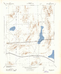
1942 · Indian Spring
USGS Topo · 1:125,000
1945 · Sheep Range
USGS Topo · 1:125,000
1952 · Corn Creek Springs
USGS Topo · 1:62,500
1954 · Las Vegas
USGS Topo · 1:250,000
1957 · Las Vegas
USGS Topo · 1:250,000
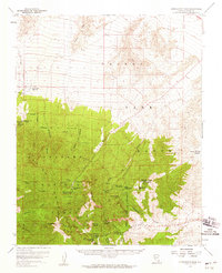
1957 · Charleston Peak
USGS Topo · 1:62,500
1959 · Las Vegas
USGS Topo · 1:250,000
1962 · Las Vegas
USGS Topo · 1:250,000