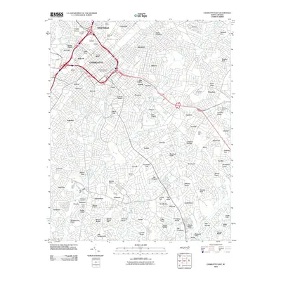
2010 Map of Charlotte East
USGS Topo · Published 2010About this map
Charlotte is shown here at a moment of significant urban density, with the grid-aligned downtown core split into the Third Ward and Fourth Ward. The city's residential character is defined by established neighborhoods like Dilworth, Myers Park, and Biddleville, which surround the commercial center. Educational and civic institutions are prominent, most notably Johnson C Smith University in the northwest.
Find a feature on this map
114 named features on this map. Tap any name to fly to it.
Don’t see what you’re looking for? This feature index may not catch every label — zoom into the map to look around manually.
Map Details
Editions of this 2010 Charlotte East Map
This is the sole edition of this map. No revisions or reprints were ever made.
Other maps of this area

1905 · Charlotte
USGS Topo · 1:48,000

1907 · Charlotte
USGS Topo · 1:62,500

1941 · Charlotte
USGS Topo · 1:125,000

1942 · Charlotte
USGS Topo · 1:125,000

1948 · Paw Creek
USGS Topo · 1:24,000

1948 · Derita
USGS Topo · 1:24,000

1948 · Charlotte East
USGS Topo · 1:24,000

1948 · Charlotte West
USGS Topo · 1:24,000

1949 · Charlotte West
USGS Topo · 1:24,000

1949 · Charlotte East
USGS Topo · 1:24,000
Featured Places
- Charlotte, NC
- Providence Park, Charlotte
- Castleton Gardens, Charlotte
- Eastfield, Charlotte
- Pellyn Wood, Charlotte