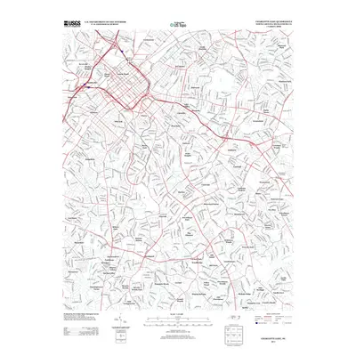
2013 Map of Charlotte East
USGS Topo · Published 2013About this map
The Third Ward and Fourth Ward anchor the urban core of this 2013 survey, where a dense network of neighborhoods radiates from the historic center of Charlotte. Local geography is defined by the winding paths of Little Sugar Cr and Briar Cr, which carve through established communities such as Elizabeth, Chantilly, and Eastover. The transition from the industrial and transportation-heavy corridors near the Norfolk Southern tracks to the residential developments of Sherwood Forest and Lansdowne illustrates the city's significant expansion.
Find a feature on this map
101 named features on this map. Tap any name to fly to it.
Don’t see what you’re looking for? This feature index may not catch every label — zoom into the map to look around manually.
Map Details
Editions of this 2013 Charlotte East Map
This is the sole edition of this map. No revisions or reprints were ever made.
Other maps of this area

1905 · Charlotte
USGS Topo · 1:48,000

1907 · Charlotte
USGS Topo · 1:62,500

1941 · Charlotte
USGS Topo · 1:125,000

1942 · Charlotte
USGS Topo · 1:125,000

1948 · Paw Creek
USGS Topo · 1:24,000

1948 · Derita
USGS Topo · 1:24,000

1948 · Charlotte East
USGS Topo · 1:24,000

1948 · Charlotte West
USGS Topo · 1:24,000

1949 · Charlotte West
USGS Topo · 1:24,000

1949 · Charlotte East
USGS Topo · 1:24,000
Featured Places
- Charlotte, NC
- Providence Park, Charlotte
- Castleton Gardens, Charlotte
- Eastfield, Charlotte
- Pellyn Wood, Charlotte